Applied ecology

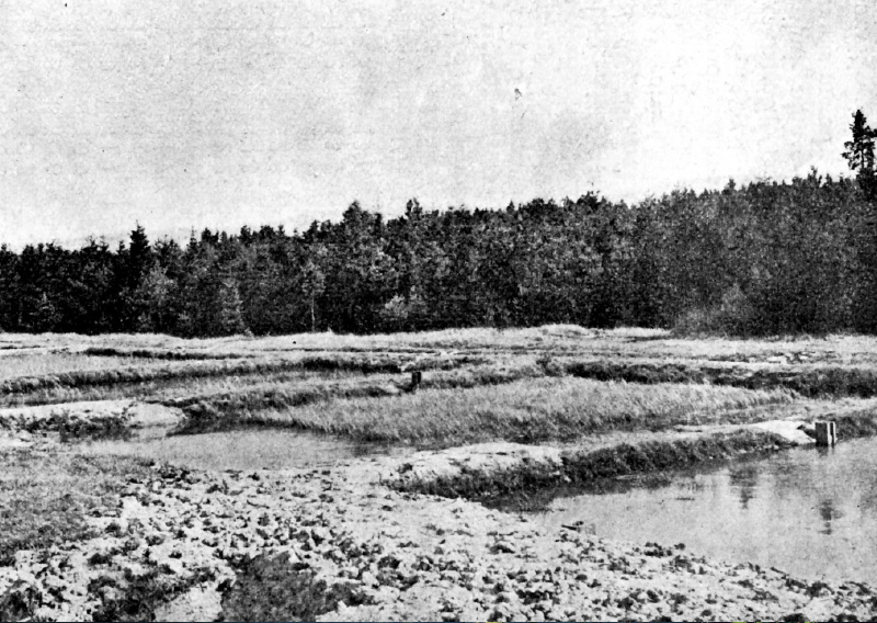
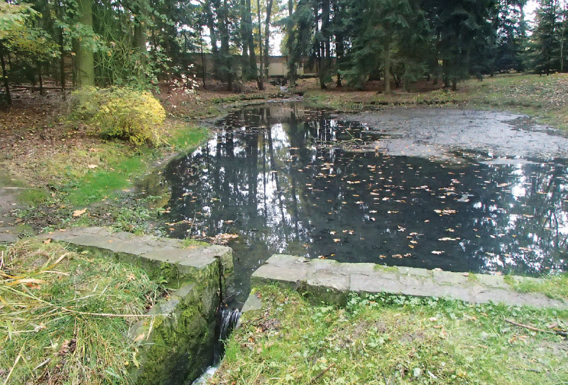
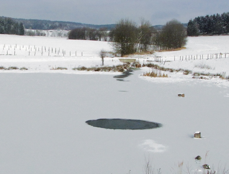
Native versus invasive crayfish in the Czech Republic

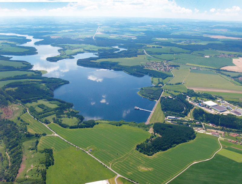
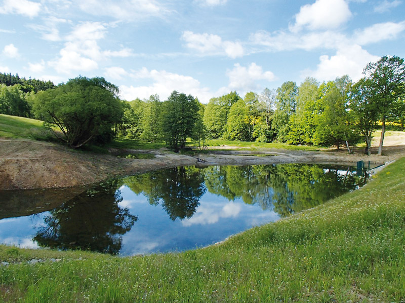
A decrease in species diversity is a negative consequence of many human activities. The number of native animal and plant species is decreas-ing, their populations are shrinking or completely disappearing, the number of endangered species is increasing, and non-native species are spreading. Global problems are perhaps most evident in the example of freshwater ecosystems.
Invasions of non-native species, associated with high cultural-sociological and economic losses, are currently considered one of the most sig-nificant factors in the decline of species diversity. For these reasons, the issue of non-native species is receiving considerable attention world-wide.
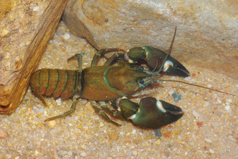
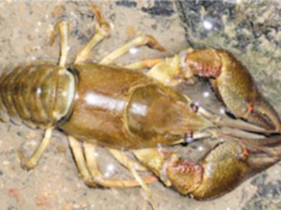
There are currently six species of crayfish living in the wild in the Czech Republic, of which only two are native: noble crayfish (Astacus asta-cus) and stone crayfish (Austropotamobius torrentium). Narrow-clawed crayfish (Astacus leptodactylus) is a European species but not native to the Czech Republic. Other species – signal crayfish (Pacifastacus leniusculus), spiny-cheek crayfish (Orconectes limosus), and marbled crayfish (Procambarus fallax) come from North America and are invasive species [1, 3].

Multi-Criteria Analysis of the Dyje basin

This article deals with applications of the specific method of multicriteria analysis (MCA) and its use in the identification of areas within the Czech Republic where adaptation measures to the consequences of climate change would be most effective. MCA was chosen due to its comprehensive approach and the simplicity of working with available data in the Czech Republic. The first MCA have already been applied in the Pilsen and Pardubice Regions within the framework of the creation of the strategic document Regional Strategy of Adaptation Measures (Regionální strategie adaptačních opatření, ReSAO), whose aim was to assess the vulnerability of the entire area of these regions. The results from both strategies are expedient from the point of view of drafting adaptation measures, and it was therefore decided to use MCA as part of a larger project in the Dyje basin. In the first phase, the implemented analyses were evaluated to improve MCA for the studied area. In the second phase, MCA was applied to the area of agricultural land. Several thematic indicators were evaluated, namely surface drainage, land use, erosion risk, and occurrence of erosion events. The aim was to focus on IV order basins, in which the priority of implementing measures on agricultural land is the highest. The result was a list of IV order basins with a partial and summary assessment of problems within the total studied area of the Dyje basin.

Agroforestry and its effect on the complex of hydropedological properties of the soil

The aim of this article is to evaluate landscape retention capacity based on the use of soil protection technology at the chosen site and to compare selected hydropedological characteristics in the context of land management. Therefore, broken and intact soil samples are taken regularly and laboratory analyses are carried out. The chosen site is located in the Šardice cadastral area, Hodonín district, South Moravian region. At the chosen site it is possible to consider grass strips with one or more rows of trees as a possible agroforestry system, where temperature and humidity are measured continuously by TOMST TMS-4 moisture sensors. The results show that the way land is used and cultivated has an impact on hydropedological properties of the land. We can influence them both positively and negatively.

Planned restoration of aquatic ecosystems in Prague 4

Prague 4 district in accordance with the National Action Plan for Adaptation to Climate Change [1], Concept for Protection from the Effects of Drought of the Czech Republic [2], Strategy for Adaptation of the Capital City of Prague to Climate Change [3] and Methodology for Rainwater Management in the City [4, 5], similarly to other progressive-minded parts of Prague, is preparing investment actions to support and strengthen green-blue infrastructure in the city. One of the most visible measures with truly demonstrable effects on the support of biodiversity and water retention in the landscape is the restoration of aquatic ecosystems. In the case of the capital city of Prague and its most populous district of Prague 4, these are mainly the restoration of canalized (straightened or piped) streams, or desilting, strengthening or comprehensive restoration of ponds and small water reservoirs in a highly urbanized landscape. A specific area is newly emerging bodies of water in places where water naturally tends to be retained after longer periods of rainfall and the area thus cannot be used for any other purpose, or even in places where there was no body of water before (although here in the narrower sense of the word it is not restoration). For such areas created by human intervention in order to strengthen the diversity of aquatic and wetland vegetation, the name artificial aquatic biotope has been adopted. Let us have a look at the differences and specific pitfalls of individual restoration using three specific examples.

Dewatering sewage sludge using sludge drying beds with wetland vegetation, the so-called Sludge Treatment Reed Bed units

At present, the problem of waste disposal is growing worldwide; its secondary use is therefore more than desirable. A pressing problem for many small municipalities that need to build or reconstruct a wastewater treatment plant (WWTP) is solving the issue of processing the resulting sludge and its stabilization, sanitation, and further application. It is not unusual for small municipal WWTPs to lack a complete in-situ sludge management (including dewatering etc.). Sewage sludge is thus often pumped out at high cost and transported to a large WWTP. The main goal for the real application of sewage sludge is to prevent future damage to soils, plants, and the health of animals and people. For this reason, taking into account the substances currently present in the sludge (e.g., organic micropollutants), it is advisable to sufficiently pre-treat the sludge, not just sanitize it to eliminate above-limit microbial pollution.

Project CZ.07.1.02/0.0/0.0/16_040/0000380 “Analysis of adaptation measures to mitigate impacts of climate change and urbanization on the water regime in the area of external Prague”

This article is available in Czech only. For translation or more information on this topic, please contact author. Rádi bychom vás seznámili se základními údaji o projektu, který byl řešen v období 2018–2020 v rámci operačního programu Praha – pól růstu. Za tímto textem jsou pak uvedeny články zabývající se již specifickými tématy, jež byla… Read more »

Centrum Voda (Center Water)

Centrum Voda je výzkumný projekt, který hledá řešení problémů vyplývajících z klimatické změny a jejího vlivu na vodní poměry. Snažíme se nalézat odpovědi na základní otázky, jestli dokážeme zajistit dostatek kvalitní vody nejen pro potřeby člověka, ale i pro naši krajinu, zda se zvládneme vyrovnat s přívalovými povodněmi a jak dále snižovat znečištění vodního prostředí.

Extreme multi-annual hydrological droughts in the Elbe river basin

The aim of the study was the evaluation of multi-year hydrological droughts in the Elbe river basin for the Děčín stream gauging station (catchment area 51 104 m2). Average monthly flows from period 1851–2000 are available for the station. For this period, we also compiled a series of average monthly precipitation and temperatures from several data sources. We calculated annual values for precipitation, temperatures and differences in annual precipitation and runoff, then we computed long-term averages and regression linear trends for change over time. The trends are only slightly upward for all three variables, but long-term fluctuations in precipitation are more significant. According to the quantified multi-year average flows and precipitation, we searched for and merged cases from which one continuous drought lasting at least 5 years is generated for both precipitation and runoff. We quantified deficit volumes for individual drought periods. The long-term average flow was chosen as the threshold flow. The hydrological drought 2013–2020 had the longest duration, almost 7 years, of all droughts since 1851 and was also characterized by the largest total deficit volume. When compared to the average annual deficit volume, it is only in fourth place. When comparing the time series of monthly flows, it turned out that cases from different periods have similar patterns and behavior.

The AdaptaN II Project – from words to action

Over the last few years we have seen – let‘s not be afraid to say it – a flurry of different adaptation strategies, action plans, and other documents describing what to do to prepare for various problems, especially the impacts of climate change. It is therefore time to start fulfilling the ideas of the above-mentioned documents and putting them into practice.

The project “Integrated Approaches of the Moravian-Silesian Region Landscape to Climate Change Adaptation” (abbreviated as AdaptaN II), which was launched in July 2021 and will last until 30 June 2024, also aims to contribute to the implementation of one of the above documents, namely the Adaptation Strategy of the Moravian-Silesian Region to the Impacts of Climate Change. This international Project is funded by the Norway Grants, „Bergen“ call for proposals, i.e. support for the implementation of selected nature-related adaptation and mitigation measures (the programme is administered by the State Environmental Fund of the Czech Republic).

Possibilities of using spectroscopy for the evaluation of forest soil properties

The aim of this study was to objectively evaluate the applicability of VNIR spectroscopy (spectroscopy in the visible and near-infrared region of the electromagnetic spectrum) for the prediction of forest soil properties. The most appropriate combinations of statistical pre-processing (no pre-processing, continuum removal, 1st and 2nd derivative) and processing (PLSR – partial least squares regression, PCR – principal component regression, SVM – support vector machines) methods in specific spectral bands were sought for each soil property.

Investigation of hyporheic biofilms of the Vltava river in Šumava national park with regard to juvenile rearl mussels, their feeding requirements and sufficient oxygen saturation of interstitial water

The research on biofilms has been ongoing within the project “Strengthening and protection of the pearl mussel population in Šumava NP” since 2018, when suitable research methods and procedures for studying the development of biofilms on hyporheic sediments (e.g. incubation of glass beads versus incubation of river sediment, granulometric survey of bottom sediments) were sought and tested, and the most suitable locations for the placement of experimental facilities were selected.

Water quality and state of aquatic invertebrate populations in small watercourses in Prague

The aim of this paper has been to evaluate the ecological status of small watercourses in the capital city of Prague by analogy to the evaluation of water bodies pursuant to Directive 2000/60/EC. A total of eight sites were selected at seven watercourses (Šárecký, Dalejský, Radotínský, Libušský, Kunratický, Botič and Rokytka Streams). Both sections that are semi-natural and those that have been restored in various ways were selected. From May 2017 onwards, annual sampling of chemical indicators took place in selected sites and a standard multihabitat method was used to take samples of aquatic invertebrates (macrozoobenthos).

Comparing various methods for determining the water footprint of electricity generation at Orlík hydroelectric power station – case study

A large part of the world’s population does not have access to quality water resources in sufficient quantities. Therefore, comprehensive methods for assessing water use have been developed in recent years. One is the water footprint, which allows expression of the total amount of water consumed to produce a product or service.

Určení rozsahu půdy nechráněné vegetací v období přívalových srážek za účelem posouzení erozního rizika

Článek popisuje metodu, zdrojová data i výsledky analýzy erozní ohroženosti podle nové metodiky využití dálkového průzkumu Země pro ochranu zemědělské půdy. Metoda je testována na pozemcích AGRA Řisuty, s. r. o. Pro zjištění přítomnosti vegetačního pokryvu na jednotlivých půdních blocích či jejich částech jsou využívána data z družic Landsat 8 a Sentinel 2.

Pošli to dál – aneb z čeho Průhonický park vyrábí biomasu sinic pro nádrž Hostivař?

Památku UNESCO – Průhonický park navštěvují ročně statisíce lidí. Pohled na parkové rybníky je však v posledních pěti letech nevábný, protože je zejména v letních měsících pokryt souvislou vrstvou sinic tvořících vodní květ. Správa parku investovala více než 100 mil. Kč do obnovy krajinných scenerií a dendrologické péče, ale páchnoucí vodní prvky v parku (systém jezů, toků a nádrží) působí na návštěvníky odpudivě.

Možnosti využití starých topografických map z let 1763–1768 pro hodnocení vývoje vodních ploch a potenciál jejich obnovy

Potenciál obnovy vodních ploch je aktuálním tématem v současném krajinném plánování. Nejčastěji jsou na území České republiky zkoumány vodní plochy na starých topografických mapách od poloviny 19. století, na kterých je již velmi dobrá polohová přesnost topografického zákresu.

How to learn the level of legal and technical principles for the application of blue infrastructure

The Czech Republic does not sufficiently create the necessary conditions for the conceptual approach to urban drainage based on the principles of a sustainable development. The Ministry of Agriculture of the Czech Republic, responsible for the water management, ignores how much a strict implementation of a sustainable drainage system, especially the blue-green infrastructure, could positively impact urbanized areas’ adaptation to climate change.

Principles of approach to optimization of water and soil protection in the Svratka River sub-basins

Presently a demand of sustainable maintenance of water quantity and quality is more and more accented in context of population booming and actual climate change. A research project no. QJ1620040, supported by the Czech Agricultural Research Agency, has started in 2016 with the aim to assess the options for reduction of water pollution both from point and non-point sources with suspended solids, nitrogen and phosphorus in drinking water sources catchments.

The importance of catchment characteristics in terms of intensive erosion runoff formation threat level

We located almost 130 000 critical localities near to urban areas where eroded material can enter the urban area. These localities were divided into five threat categories. Detailed modelling by WaTEM/SEDEM provided an extensive database of almost 130 000 micro catchments with outlet profiles threatened by intensive erosion runoff, and classified by five categories of threat for infrastructure damages.

Water quality in drinking water reservoir Švihov on Želivka river and its river basin, with focus on specific organic compounds

River basin of the largest drinking water reservoir Švihov on the Želivka River is distinctly anthropogenically affected both by direct human activities and also by the agriculture. The quality of the surface water is endangered in long-term period mainly by the eutrophication, pesticides pollution and erosion.

Assessment of the relationship between water quality and functions of small water reservoirs

Small water reservoirs are one of the principal elements of agricultural landscape in the Central European context. The monitoring of the quality of aquatic environment of selected ponds and small reservoirs (SWR) in areas of southern and central Moravia and the Vysočina Region was carried out in 2013 to 2015.

Risk assessment of drying up of small streams in the Czech Republic

A categorization of the Czech Republic territory in terms of the risk of drying up of small streams (1st to 4th order by Strahler) was proposed. Three levels of risk (low, medium and high) for basic hydrological units (catchment) were set. The risk levels were defined using selected abiotic characteristics of the hydrological units and their combinations.