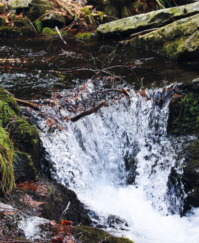
Protected areas for surface water accumulation from a hydrogeologist’s the point of view – the effect of possible realization of surface water accumulation on hydrogeological conditions
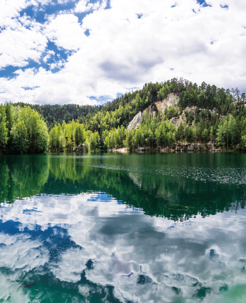
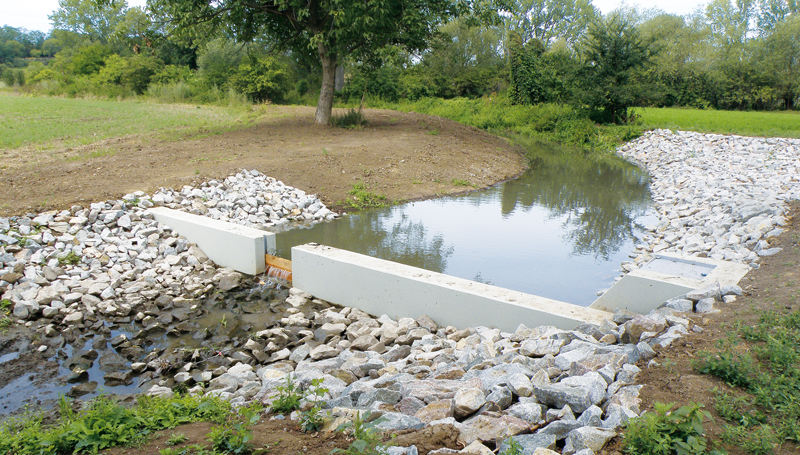
Suitable areas for the accumulation of surface water have been defined in the Czech Republic, potentially serving mainly for the supply of potable water and for mitigating the adverse effects of floods and drought. The sites are listed in the General Scheme on the Accumulation of Surface Water, which was obtained by the Ministries of Agriculture and the Environment following the previous long-term territorial protection of prospective water reservoirs. Before any decision to build these reservoirs, it is necessary to assess the project from various points of view. This article presents an evaluation of selected sites from a hydrogeological point of view. Among other things, it deals with the analysis of the location of potential res-ervoirs in the hydrogeological environment, the effect on the quantity and quality of groundwater, and the potential impact on the used groundwater resources. After the construction of the reservoirs, the groundwater level of the shallow aquifer will rise, and consequently, groundwater storage will also increase. However, it is necessary to assess the sites individually; there are often potentially negative effects of future reservoirs on groundwater.
„Water Centre“
The research project of the Technology Agency of the Czech Republic SS02030027 „Water systems and water management in the Czech Republic in conditions of climate change“, whose guarantor is the Ministry of the Environment, tries to answer the question of whether we will continue to have enough quality water. Climate change and the associated drought, as well as human behaviour and demands threaten water, and solutions must be sought for the immediate future.

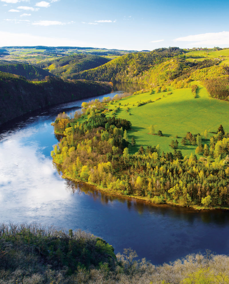
Potential of areas protected for surface water storage to mitigate the impacts of climate change on drinking water supply
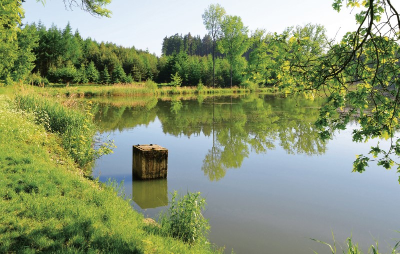
In the Czech Republic, areas morphologically, geologically and hydrologically suitable for surface water storage to mitigate the adverse effects of floods and droughts are defined through the General Plan for Surface Water Accu-mulation Areas. In the context of climate change, these locations create potential for possible adaptation measures. This article describes the assessment of the potential of selected sites for water supply under climate change condi-tions by means of hydrological and water balance modelling.
Estimation of natural groundwater resources in hydrogeological zones in the Czech Republic under changing climatic conditions 1981–2019
In the Czech Republic, hydrogeological zones were defined as early as 1965 as a part of the regional hydrogeological survey. A hydrogeological zone (HGZ) is defined as a unit with similar hydrogeological conditions, defined tectonically and geologically, in whose territory a certain type of aquifer and groundwater circulation prevails. The boundaries of HGZs have been modified over time and their numerical hydrogeological characteristics have been determined by various methods; one of the basic characteristics is the amount of natural groundwater resources. Natural resources are the dynamic component of groundwater and are expressed in m3.s-1. They are determined by the recharge of water to the aquifer system (precipitation, groundwater overflows from other aquifers, natural infiltration of surface water, etc.). If the HGZ is hydrogeologically closed, the long-term average of its recharge from precipitation and the long-term average of baseflow can be used as an estimate of the natural groundwater resource. In the “Groundwater Rebalance Project”, estimates of natural groundwater resources in 152 hydrogeological zones in the Czech Republic were processed and are presented in the report [1]. The natural resources were determined by several different methods using data from 1971–2010 and 2000–2010.
Extreme multi-annual hydrological droughts in the Elbe river basin
The aim of the study was the evaluation of multi-year hydrological droughts in the Elbe river basin for the Děčín stream gauging station (catchment area 51 104 m2). Average monthly flows from period 1851–2000 are available for the station. For this period, we also compiled a series of average monthly precipitation and temperatures from several data sources. We calculated annual values for precipitation, temperatures and differences in annual precipitation and runoff, then we computed long-term averages and regression linear trends for change over time. The trends are only slightly upward for all three variables, but long-term fluctuations in precipitation are more significant. According to the quantified multi-year average flows and precipitation, we searched for and merged cases from which one continuous drought lasting at least 5 years is generated for both precipitation and runoff. We quantified deficit volumes for individual drought periods. The long-term average flow was chosen as the threshold flow. The hydrological drought 2013–2020 had the longest duration, almost 7 years, of all droughts since 1851 and was also characterized by the largest total deficit volume. When compared to the average annual deficit volume, it is only in fourth place. When comparing the time series of monthly flows, it turned out that cases from different periods have similar patterns and behavior.
Changes in precipitation and runoff in river basins in the Czech Republic during the period of intense warming
The basic meteorological variables that affect the hydrological regime are atmospheric precipitation and air temperature. Both fluctuate not only in the short term and in the annual cycle, but also in the long term. Long-term changes in both of these variables have the character of periodic fluctuations around the mean values. Since about 1980, there has been a systematic increase in air temperature in the Czech Republic. This article provides information on how the climate fluctuations that this change brings affect the precipitation and runoff regime in our territory.
Preservation of drinking water demand from water reservoirs in climate change conditions
This study presents interim results of an evaluation of a potential climate change impact on the preservation of drinking water demand provided by water reservoirs in the timeframe of the year 2050. Hydrological and water sources and demands balance procedures have been applied, including modelling of the storage ability of water resources and water supply systems.
Update of empirical relationships for calculation of free water surface evaporation based on observation at Hlasivo station
Evaporation from free water surface is one of the essential components of water circulation in nature and significantly affects the overall water balance of the catchment. Due to the complicated direct measurement, it is often calculated from formulas that require available meteorological variables as input data.
Hydrological balance and available water resource in the czech republic during hydrological drought
The article deals with the assessment of the hydrological balance in a monthly time step in the territory of the Czech Republic, which was divided into 133 sub-basins for the period 1981–2015.
Regionalization of deficit runoff volumes in the Czech Republic
The aim of the study is the regionalization of the Czech Republic with respect to drought characteristics in individual catchments.
Modelling the effect of nature-related measures on the water balance in the Trkmanka basin
The effect of nature-related measures on the water balance was modeled in the Trkmanka basin. The basin is located in the Moravia, south-east region of the Czech Republic.
Quantifying the retention characteristics by the means of geomorphological patterns of the basin
In the presented study we tested the selected sets of linear and nonlinear regression models, that describe the relationships between the selected parameters of hydrological model Bilan, which were estimated using the meteorological, hydrological series, and between the retention characteristics estimated using the selected geomorphological patterns of the river basin.
Bias correction of precipitation and temperature from regional climate models – the impact on runoff modelling
Hydrological modelling is often used for assessment of climate change impacts on water resources. Inputs into the hydrological model are represented by precipitation and temperature based on simulations of climate models.
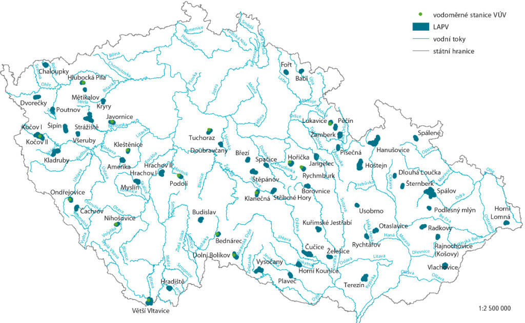
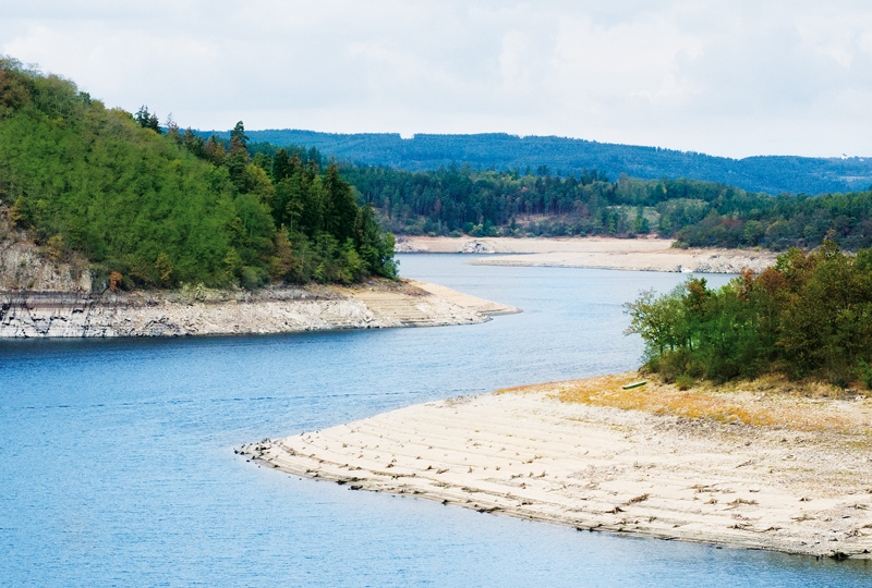
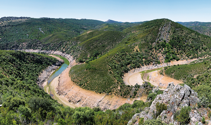
Possible compensation of negative climate change impacts using the localities for potential accumulation of surface water
The list of localities potentially suitable for accumulation of surface water (LASW) exists in the Czech Republic from the beginning of 20th century.