
Typology and effects of roads on runoff regime in protected areas
The article presents the results of the project Analysis of Changes in the Water Regime of Land and Watercourses in the Krkonoše National Park Caused by the Network of Roads (TA CR, no. TITSMZP945), implemented as a public procurement commissioned by the Ministry of the Environment of the Czech Republic within the BETA2 applied research programme. The main output of the project is a two‑level typology of the road network in terms of its impact on surface and subsurface runoff. This typology was applied to the territory of Krkonoše National Park (KRNAP) in the Czech Republic and presented in the form of cartographic atlases. The article describes the principles and criteria of the proposed typology and the methodology of its application in map production, which at the basic level combines spatial analyses of road network datasets, digital terrain models and the hydrographic network, and at the detailed level incorporates the results of extensive field surveys. The original analytical procedures include, among other things, the detection of directional and elevation breaks in road segments and the delineation of micro‑catchments for individual sections. The resulting maps provide KRNAP Administration and other managers of protected areas with a tool for identifying road segments with the highest potential impact on the hydrological regime and serve as a basis for planning compensatory measures or restoration interventions.

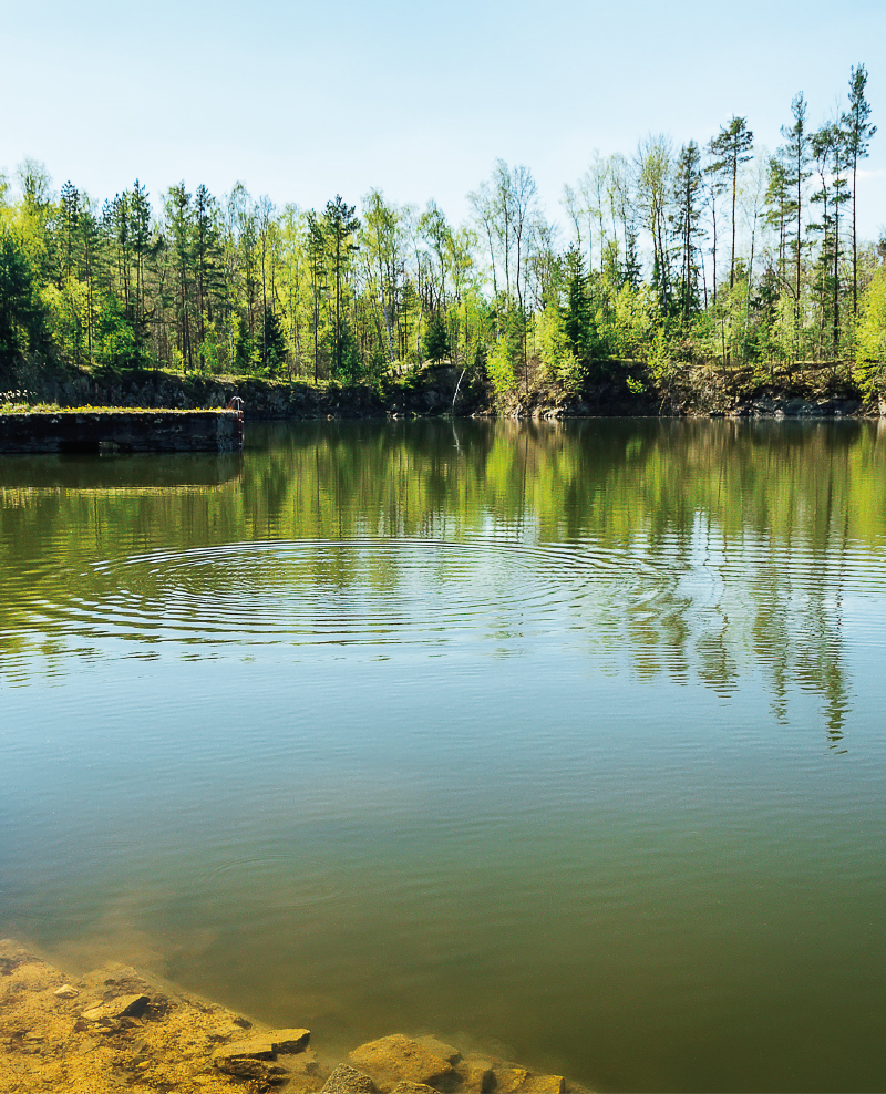
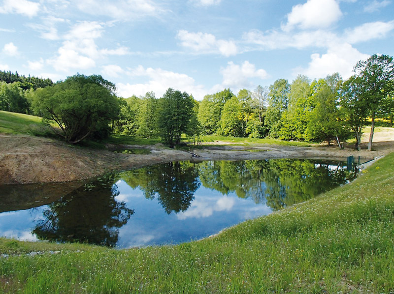
Direct monitoring of water vapor from the free water level of the Vavřinecký pond and its influence on the hydrological balance
With increased average air temperature, there is an increase in water vapour from a water surface. Between 2020 and 2022, evaporation from the water surface was observed with a floating evaporimeter at Vavřinecký pond in the Central Bohemian region. A floating evaporimeter monitors evaporation from the water surface along with basic meteorological quantities directly on the surface of the water reservoir, so its results should be more accurate than calculations based on data from nearby meteorological stations. The results show that in all three years evaporation exceeded precipitation by more than 100 mm between April and September. However, the issue of the influence of small water reservoirs on the hydrological balance is a very complex topic, where the assessment of negative and positive effects is not always black and white and requires detailed investiga-tion.
Hydrological balance in selected watersheds of the Czech Republic with focus on drought period 2015–2019
The contribution is aimed to the determination and assessment of a hydrological balance at selected watersheds in Czech Republic during the dry period 2015–2019. Hydrological balance was processed in gauging stations of watershed Blatný stream, Lomnice, Skalice, Žehrovka, Javorka, Cidlina, Botič and upper Sázava river using data from Czech hydrometeorological institute. Monthly, long-term monthly and annual values were calculated for precipitation, runoff and evapotranspiration. Results were compared across the selected watersheds and with long-term period 1981–2010. Runoffs from watersheds were compared with gauging average discharge of an entire observation period.
The dams of historical ponds in terms of shape and stability
The article presents the results of the evaluation of the fishpond dams shape in the region of Kostelec and Kouřim in the Central Bohemian Region. The shape of the dams was assessed on the basis of a detailed digital terrain model derived from the data of Digital Relief Model of 5th Generation.

Growth and decline of fishery in Poděbrady and Nymburk Estates from the point of view of historical hydrology
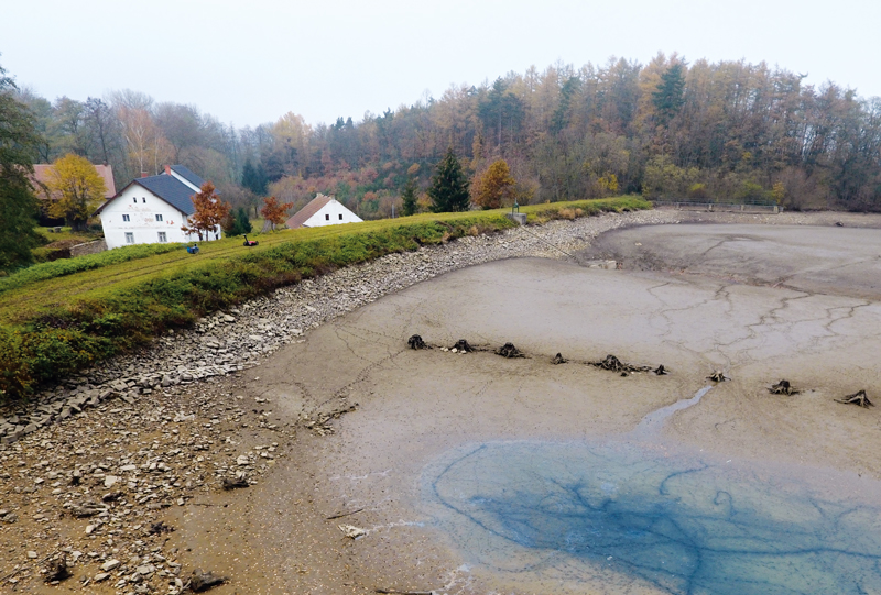
This contribution presents a current occurrence of drought periods and declines of fishponds (including entire fishpond systems), in Poděbrady and Nymburk counties. Such relation is not straightforward, when we consider fishponds as reservoirs of water and energy.
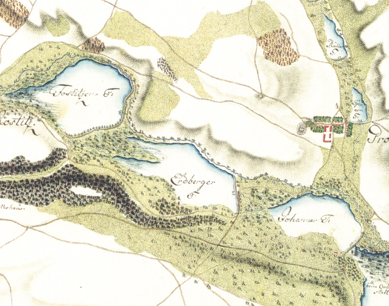
Identification of ponds in the Blanice catchment area on maps of 1st Austrian Military Survey
The article focuses on the identification of fishponds dawn on the maps of the 1st Austrian Military Survey. The presented analyses are based mainly on manual work with old maps, because the maps used for the study lack the precision and detail needed for automated processing in the GIS environment.
Research of ponds influence on hydrological regime
Ponds have been mentioned very often in recent years in connection with the prevention of negative consequences of drought. They are cited as one of a wide range of measures.
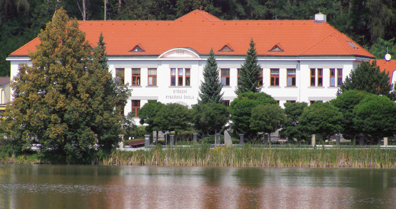
Interview with the director of the Secondary Fishing School in Vodňany Ing. Karl Dubský
Rozhovor s ředitelem Střední rybářské školy ve Vodňanech Ing. Karlem Dubským na téma rybníkářství, výročí střední rybářské školy a mnoho dalšího.
Possibilities of using old topographic maps from the years 1763–1768 for evaluating the development of water bodies and the potential for their renewal
Potenciál obnovy vodních ploch je aktuálním tématem v současném krajinném plánování. Nejčastěji jsou na území České republiky zkoumány vodní plochy na starých topografických mapách od poloviny 19. století, na kterých je již velmi dobrá polohová přesnost topografického zákresu.
Ponds as a subject of scientific research
Rybníky utvářejí charakter krajiny na mnoha místech v České republice, v některých oblastech jsou dokonce dominujícím krajinným prvkem. Nejznámější současnou rybníkářskou oblastí je bezpochyby Třeboňsko, najdeme u nás ale i další významné soustavy.
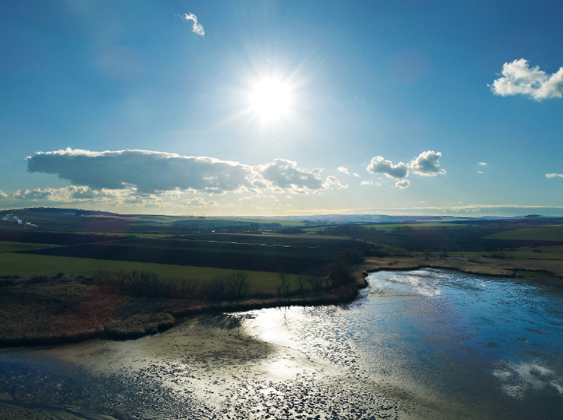
River basin monitoring to assess the impact of nature-friendly measures
As part of the Drought project, a comprehensive monitoring of watercourses and land in their catchment areas was launched in the Czech Republic to assess the impact of the implementation of revitalization actions to protect against the effects of drought.
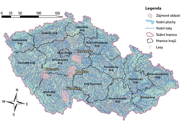
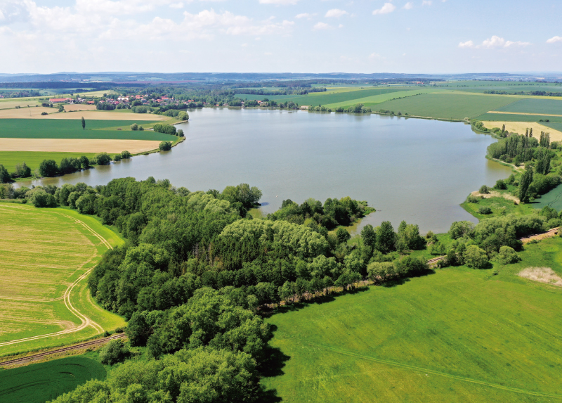
Pond systems in selected regions
Ponds are an important and organic part of the landscape in the Czech Republic through ages. They are spread over most of the area of the republic and have different functions besides the one which is historically the most important – fish farming.
Assessment of the relationship between water quality and functions of small water reservoirs
Small water reservoirs are one of the principal elements of agricultural landscape in the Central European context. The monitoring of the quality of aquatic environment of selected ponds and small reservoirs (SWR) in areas of southern and central Moravia and the Vysočina Region was carried out in 2013 to 2015.