
Current approaches to determining flood hazard in river confluence areas
The study focuses on assessing changes in runoff conditions and approaches to determining flood hazard in confluence areas of river systems. Based on the analysis of several model catchments, the results of numerical simulations of water flow during floods with different return peri-ods are presented. The analyses revealed that separate modelling of the main river and its tributaries produces distorted results, as the hydraulic conditions in confluence areas are characterized by complex interactions between individual streams. Therefore, the authors recommend a comprehensive approach using 2D numerical models, which allow for more accurate evaluation of inundation extent, water depths, and flow velocities. The study results include proposals for updating the methodological guidelines of the Ministry of the Environment, emphasizing a unified approach to the development of flood hazard and risk maps.
The AdaptaN II Project – from words to action
Over the last few years we have seen – let‘s not be afraid to say it – a flurry of different adaptation strategies, action plans, and other documents describing what to do to prepare for various problems, especially the impacts of climate change. It is therefore time to start fulfilling the ideas of the above-mentioned documents and putting them into practice. The project “Integrated Approaches of the Moravian-Silesian Region Landscape to Climate Change Adaptation” (abbreviated as AdaptaN II), which was launched in July 2021 and will last until 30 June 2024, also aims to contribute to the implementation of one of the above documents, namely the Adaptation Strategy of the Moravian-Silesian Region to the Impacts of Climate Change. This international Project is funded by the Norway Grants, „Bergen“ call for proposals, i.e. support for the implementation of selected nature-related adaptation and mitigation measures (the programme is administered by the State Environmental Fund of the Czech Republic).

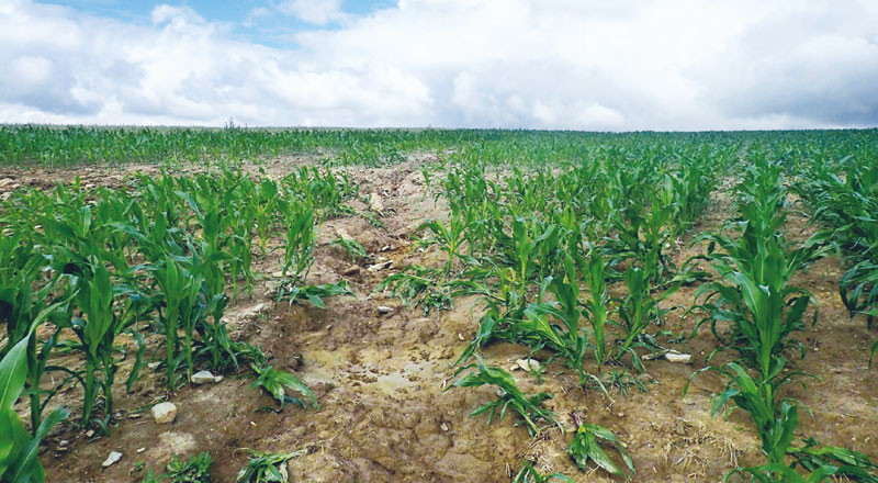
Determination of soil loss from erosion rills by method of digital photogrammetry and method of volumetric quantification
This article presents the first results of the research focused on the recording of rill erosion, and its evaluation using the outputs of the two methods that can be used to determine the soil yield. The consequences of erosion have been documented on a selected pilot site, both as a direct method of volume quantification (using an profile meter – so called soil erosion bridge) and with the use of unmanned aircraft in close-up photogrammetry (UAV).

Catalogue of green water retention measures in the landscape and its application in the web map application
A catalogue of green water retention measures in landscape represents one of the results of long term project financed by the Ministry of Environment. The main goal of the catalogue was to summarize a set of measures with positive effects on water retention of landscape, with low impact on ecological status of water bodies.

Bottom level estimation of water management infrastructures from historic project documentations
Monitoring and maintenance of water management infrastructure require knowledge of their reference state characterizing their design parameters. The reference state is derived primarily from the available project documentation, which is appropriately chosen to be converted to a digital model of the bottom terrain.
Potential of the nature-friendly measures application for water retention in the landscape and improvement of the ecological status of water bodies
An analysis and assessment of the nature-friendly measures potential for water retention in the landscape were carried out as a part of the work on the concept of protection against drought impacts in the Czech Republic.

Process of implementation of Directive 2007/60/EC on the assessment and management of flood risks in conditions of the Czech Republic
The purpose of the Directive 2007/60/EC on the Assessment and Management of Flood Risks (Flood Directive) is to prevent or reduce negative consequences of floods by preparing flood risk management plans.
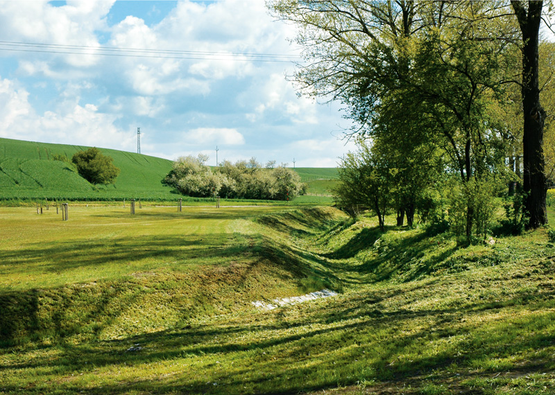
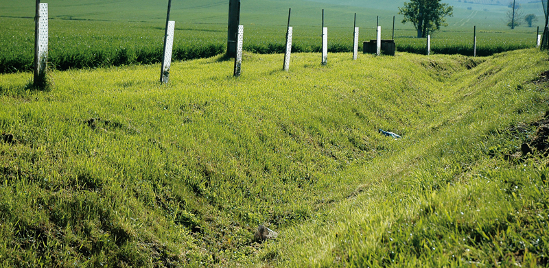
Complex system of natural water retention measures against erosion and flash floods
A complex system of flash flood and erosion protection measures was designed for almost 80% of the Czech Republic. It is made mainly from natural water retention measures on agricultural land and water courses.