List of articles from – 2/2023

Landscape changes in selected locations of the Polabí lowlands with a focus on wetlands

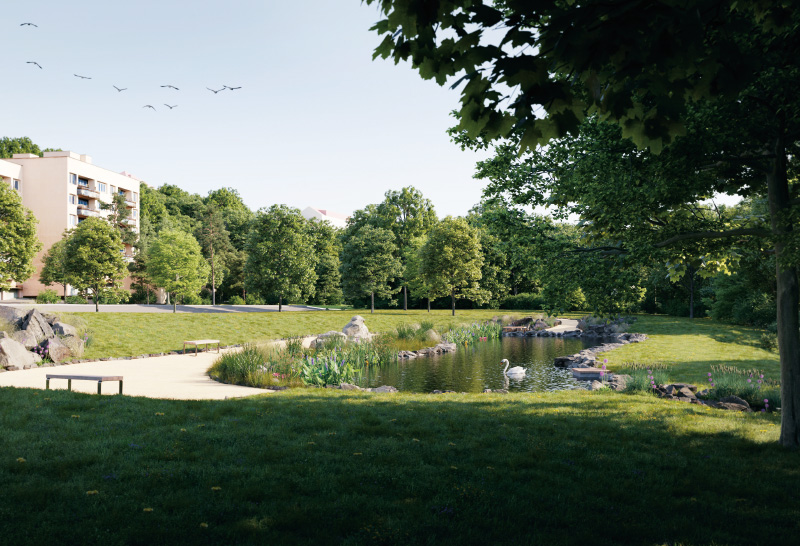
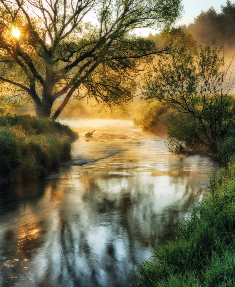
This article presents three typologically different sites from Polabí where large-scale wetland sites were located in the past, including ponds. These sites were chosen in order to present disappeared floodplain meadows, disappeared “field” wetlands, disappeared ponds or pond systems, and, simultaneously, to present sites where wetland habitats have been at least partially restored. The main aim was to present easily accessible archival maps, on the basis of which it is possible to assess the spatio-temporal dynamics of wetland habitats in the places of disappeared wetlands with regard to their possible restoration.

Multi-Criteria Analysis of the Dyje basin

This article deals with applications of the specific method of multicriteria analysis (MCA) and its use in the identification of areas within the Czech Republic where adaptation measures to the consequences of climate change would be most effective. MCA was chosen due to its comprehensive approach and the simplicity of working with available data in the Czech Republic. The first MCA have already been applied in the Pilsen and Pardubice Regions within the framework of the creation of the strategic document Regional Strategy of Adaptation Measures (Regionální strategie adaptačních opatření, ReSAO), whose aim was to assess the vulnerability of the entire area of these regions. The results from both strategies are expedient from the point of view of drafting adaptation measures, and it was therefore decided to use MCA as part of a larger project in the Dyje basin. In the first phase, the implemented analyses were evaluated to improve MCA for the studied area. In the second phase, MCA was applied to the area of agricultural land. Several thematic indicators were evaluated, namely surface drainage, land use, erosion risk, and occurrence of erosion events. The aim was to focus on IV order basins, in which the priority of implementing measures on agricultural land is the highest. The result was a list of IV order basins with a partial and summary assessment of problems within the total studied area of the Dyje basin.

Agroforestry and its effect on the complex of hydropedological properties of the soil

The aim of this article is to evaluate landscape retention capacity based on the use of soil protection technology at the chosen site and to compare selected hydropedological characteristics in the context of land management. Therefore, broken and intact soil samples are taken regularly and laboratory analyses are carried out. The chosen site is located in the Šardice cadastral area, Hodonín district, South Moravian region. At the chosen site it is possible to consider grass strips with one or more rows of trees as a possible agroforestry system, where temperature and humidity are measured continuously by TOMST TMS-4 moisture sensors. The results show that the way land is used and cultivated has an impact on hydropedological properties of the land. We can influence them both positively and negatively.

(Inter)nationality of VTEI journal

V článku je popsána analýza národní orientace časopisu Vodohospodářské technicko-ekonomické informace (VTEI) pomocí bibliometrického indikátoru Index Národní Orientace (INO). Tato analýza navazuje na citační analýzu provedenou v roce 2022. Na základě údajů o publikovaných článcích se vypočítává Index Národní Orientace Publikujících autorů (INO-P). Pro citace časopisu VTEI v databázi Scopus se vypočítává Index Ná-rodní Orientace Citujících autorů (INO-C).

Interview with Michal Broža, head of the UN Information Centre in the Czech Republic

Michal Broža was born on 13 May 1965 in Sušice. He graduated from Charles University in Prague and also studied at the University of Amsterdam in the Netherlands. Since 1995, he has worked at the UN in various positions. Since 2004, he has been the head of the UN Information Centre in Prague. He participated in missions in Africa and working stays in the former Yugoslavia and the Middle East. He also
worked as a World Bank consultant and researcher in the private sector. He specializes in UN issues, communication of global risks and megatrends. He is the author and co-author of publications and articles related to these areas, and he also gives lectures.

Subsidies from the Operational Programme Environment 2021–2027

On 15 December 2022, calls from the Operational Programme Environment (OPE) 2021–2027 were finally launched for projects in the field of nature conservation and landscape protection, which will be financed through the so-called simplified reporting methods (hereinafter SRM). Simplifying the administration of subsidies was one of the main requirements of the European Commission, which it set as mandatory for all projects with total expenditures of up to EUR 200,000.

Planned restoration of aquatic ecosystems in Prague 4

Prague 4 district in accordance with the National Action Plan for Adaptation to Climate Change [1], Concept for Protection from the Effects of Drought of the Czech Republic [2], Strategy for Adaptation of the Capital City of Prague to Climate Change [3] and Methodology for Rainwater Management in the City [4, 5], similarly to other progressive-minded parts of Prague, is preparing investment actions to support and strengthen green-blue infrastructure in the city. One of the most visible measures with truly demonstrable effects on the support of biodiversity and water retention in the landscape is the restoration of aquatic ecosystems. In the case of the capital city of Prague and its most populous district of Prague 4, these are mainly the restoration of canalized (straightened or piped) streams, or desilting, strengthening or comprehensive restoration of ponds and small water reservoirs in a highly urbanized landscape. A specific area is newly emerging bodies of water in places where water naturally tends to be retained after longer periods of rainfall and the area thus cannot be used for any other purpose, or even in places where there was no body of water before (although here in the narrower sense of the word it is not restoration). For such areas created by human intervention in order to strengthen the diversity of aquatic and wetland vegetation, the name artificial aquatic biotope has been adopted. Let us have a look at the differences and specific pitfalls of individual restoration using three specific examples.

Dewatering sewage sludge using sludge drying beds with wetland vegetation, the so-called Sludge Treatment Reed Bed units

At present, the problem of waste disposal is growing worldwide; its secondary use is therefore more than desirable. A pressing problem for many small municipalities that need to build or reconstruct a wastewater treatment plant (WWTP) is solving the issue of processing the resulting sludge and its stabilization, sanitation, and further application. It is not unusual for small municipal WWTPs to lack a complete in-situ sludge management (including dewatering etc.). Sewage sludge is thus often pumped out at high cost and transported to a large WWTP. The main goal for the real application of sewage sludge is to prevent future damage to soils, plants, and the health of animals and people. For this reason, taking into account the substances currently present in the sludge (e.g., organic micropollutants), it is advisable to sufficiently pre-treat the sludge, not just sanitize it to eliminate above-limit microbial pollution.

Historic floods on Rakovnický stream

This year, TGM WRI is planning to publish a book by Kašpárek, Elleder, Šírová, Dragoun, and Kašpárek Jr., dedicated to floods in the Rakovnický stream basin. It is primarily focused on the occurrence of floods before the start of instrumental observation, that is before 1898. Its purpose is to maximally expand knowledge about the frequency, seasonality, and most significant flood cases, their causes, extent, impact, and damage over the last 500 years.

Radioactive indicators in surface waters of the Ploučnice river basin

The Czech Hydrometeorological Institute (CHMI) is engaged in systematic monitoring and evaluation of radiological indicators in surface waters. The article describes changes in the values of radiological indicators in surface waters in the time series from 1967 to the present. The evolution of total volume alpha and beta activity, uranium concentration, and radium activity (226Ra) is described on characteristic profiles in the area of uranium-containing raw materials mining, in the vicinity of Stráž pod Ralskem, where the mining of radioactive raw materials has already been suppressed. The Ploučnice river flows through this mining area and flows into the Elbe river in Děčín near the Hřensko border crossing, where activities of radiological indicators are also monitored and documented. Following the cessation of uranium mining at the Stráž pod Ralskem deposit, uranium concentrations dropped by two orders of magnitude, and surface waters on the Ploučnice – Mimoň profile have been classified as Class I – unpolluted water for the last five years. The values of Kendall’s correlation coefficient τ for the profiles evaluated on the selected profiles during the mining period are characterized by an increasing trend (+0.7) for the indicator of total volume beta activity; after the end of mining, a decreasing trend is indicated (-0.5).