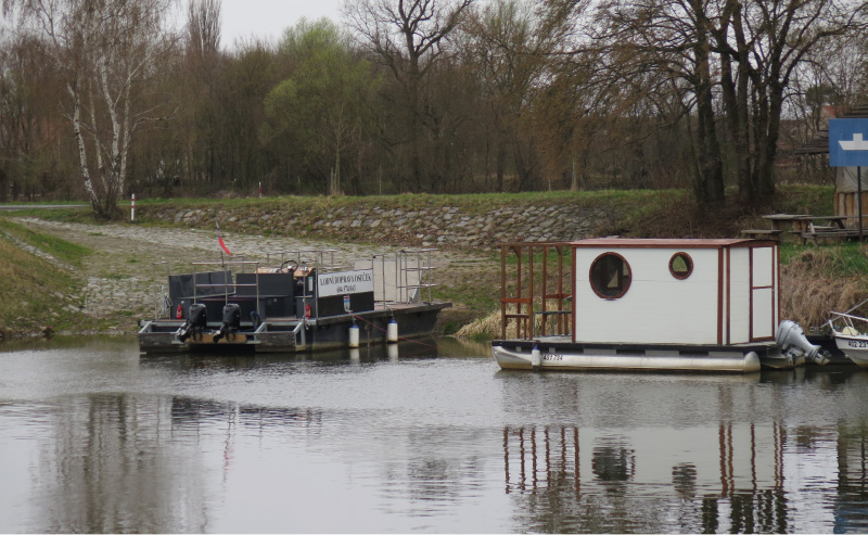
River ferries on old topographic maps
Medium and large rivers were a major obstacle to historic trade routes and trails. River ferries were one of the main ways to cross them, so their sites were considered points of strategic importance. Using old topographic maps from Austrian military mapping from 1763–1768, 1836–1852, 1876–1880, Prussian military maps from 1825 and 1877, and Czechoslovak military maps from 1953–1957, we systematically located ferries throughout the current territory of Czechia. Map keys from individual mappings were also analysed to examine how ferries are depicted on these maps. Based on the study of old topographic maps, a geographical database was created with the location of individual ferries, including the period in which the river ferry was registered. A total of 514 historical ferries were recorded on old topographic maps from military mapping throughout Czechia; another 28 ferries were identified from other available, more detailed, map sources.
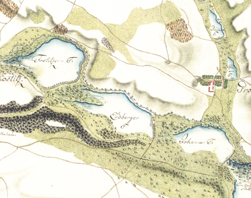
Possibilities of using old topographic maps from the years 1763–1768 for evaluating the development of water bodies and the potential for their renewal
Potenciál obnovy vodních ploch je aktuálním tématem v současném krajinném plánování. Nejčastěji jsou na území České republiky zkoumány vodní plochy na starých topografických mapách od poloviny 19. století, na kterých je již velmi dobrá polohová přesnost topografického zákresu.
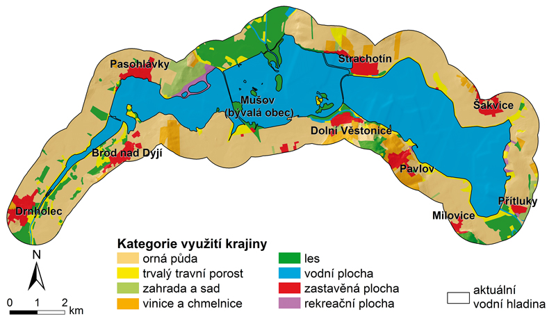
Changes in land use due to the construction of water reservoirs
This paper deals impacts of building of water reservoirs on land use changes in floodplains and adjacent areas of three reservoirs in southern Moravia – Nové Mlýny, Vranov, Brno. To monitor the development of land use the old topographic maps were used.