List of articles from – 5/2022

Estimation of natural groundwater resources in hydrogeological zones in the Czech Republic under changing climatic conditions 1981–2019

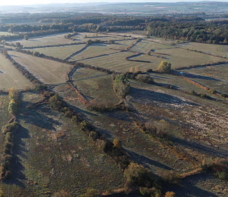
In the Czech Republic, hydrogeological zones were defined as early as 1965 as a part of the regional hydrogeological survey. A hydrogeological zone (HGZ) is defined as a unit with similar hydrogeological conditions, defined tectonically and geologically, in whose territory a certain type of aquifer and groundwater circulation prevails. The boundaries of HGZs have been modified over time and their numerical hydrogeological characteristics have been determined by various methods; one of the basic characteristics is the amount of natural groundwater resources. Natural resources are the dynamic component of groundwater and are expressed in m3.s-1. They are determined by the recharge of water to the aquifer system (precipitation, groundwater overflows from other aquifers, natural infiltration of surface water, etc.). If the HGZ is hydrogeologically closed, the long-term average of its recharge from precipitation and the long-term average of baseflow can be used as an estimate of the natural groundwater resource. In the “Groundwater Rebalance Project”, estimates of natural groundwater resources in 152 hydrogeological zones in the Czech Republic were processed and are presented in the report [1]. The natural resources were determined by several different methods using data from 1971–2010 and 2000–2010. 

Impact of Teplice restoration on river basin runoff – preliminary results

As part of the project for the Ministry of the Environment of the Czech Republic dealing with the monitoring of the impact of nature­‑friendly measures on improving the hydrological regime of small river basins, the Teplice river basin in the White Carpathians has been observed. Monitoring has been taking place since 2018, the measures were implemented in 2020. Data are available for the time period before the measures were implemented and for the year 2021, on which it is possible to observe the impact of the implemented revitalization. The data show the fluctuation of the daily runoff from the river basin and its overall reduction, which is probably caused by increased evaporation from the newly formed water bodies and increased water infiltration into the underground zone. After evaluating the observed data, there was a visible reduction in the surface runoff from the basin, which may nevertheless also be caused by the low rainfall totals in 2021.

Assessment of the possibility of changing the use of dry reservoirs

The main objective of the project „Potential use of dry reservoirs in landscape water management“ was to develop a methodological guideline describing the procedure for changing the use of a dry reservoir. The methodological guideline is based on a two¬ level multi¬criteria analysis. Another aim of the project was to make a complete record of implemented dry reservoirs and polders in the Czech Republic and to present it in the form of a database and a map with professional content. Documentation of the technical condition of some existing dry reservoirs was also an important output of the project.

Measuring annual precipitation with a radar rain gauge in severe mountain conditions

The aim of this article is to describe the experience gained while using alternative technology for measuring annual precipitation in severe mountain conditions without a source of electrical energy. For this purpose, a Lufft WS100 radar precipitation sensor was installed in Šumava in 2020 at an altitude of 1270 m above sea level. The measurements so far have shown evident advantages; for example, maintenance free sensor, detailed measurement step, and distinction of the type of precipitation. The question remains how accurate the measurement is, when during some precipitation episodes the radar precipitation sensor probably overestimates its measurements. Accurate comparison with other measurements is difficult in these mountain ridge conditions. On the other hand, the radar sensor also gives accurate measurements during some precipitation episodes, which we verify by a non-heated tipping bucket rain gauge located within the station and also by measuring the height of the snow. Using these proxy data, systematic error was excluded. Measurements will continue for a more detailed evaluation. The radar sensor is, among other things, part of the monitoring of Kaplický potok in Boubín National Nature Reserve, where runoff is also monitored. From this point of view, information about precipitation and its type is important for the evaluation of the hydrological properties of the basin.  

The current version of the BILAN model

BILAN je celistvý konceptuální model v denní/měsíční struktuře (schéma je uvedeno na obr. 1), simulující složky hydrologické bilance na povodí. Přestože jeho vývoj byl nastartován ve VÚV TGM již počátkem devadesátých let minulého století, jde o model, který je v České republice stále standardně používán a zůstává přístupný laické i odborné veřejnosti. Například je nedílnou součástí řešení aplikace/systému HAMR [1], ale byl použit i jinde [2–4]. Mezi hlavní výhody modelu oproti jiným řešením patří interní kalibrační algoritmy, možnost přímého vkládání dat o užívání vod a nízká výpočetní náročnost vhodná pro variantní simulování (např. dopadů klimatické změny na vodní režim).

Invitation to the travelling exhibition Historical water management objects, their value, function and significance for the present time

Research focused on the evaluation of historical water management objects in the Czech Republic from the point of view of their significance for historic preservation is already in its fifth year. It is broadly conceived interdisciplinary research with the involvement of experts from TGM WRI, Methodological Centre of Industrial Heritage of the National Heritage Institute, Historical Institute of the Academy of Sciences of the Czech Republic, The Silva Tarouca Research Institute for Landscape and Ornamental Gardening, and Faculty of Science, Palacký University Olomouc. The research is carried out within the DG18P02OVV019 project “Historical water management objects, their value, function and significance for the present time” financed by the NAKI II programme of the Ministry of Culture. 

Annotation of the exhibition Irrigation – rediscovered heritage, its documentation and popularization

As a response to landscape drainage in the modern era, caused by the intensification of agriculture, the drying up of ponds, and land reclamation activities, interest in the opposite process has reappeared, i.e. irrigation. Existing irrigation systems, at present often non-functional and preserved only in parts, have become the subject of interest for this project which tried to capture the historical development of this specific water management field as well as part of the industry associated with the implementation of irrigation and the production of soil irrigation equipment.

Centrum Voda (Center Water)

Centrum Voda je výzkumný projekt, který hledá řešení problémů vyplývajících z klimatické změny a jejího vlivu na vodní poměry. Snažíme se nalézat odpovědi na základní otázky, jestli dokážeme zajistit dostatek kvalitní vody nejen pro potřeby člověka, ale i pro naši krajinu, zda se zvládneme vyrovnat s přívalovými povodněmi a jak dále snižovat znečištění vodního prostředí.

Memory of RNDr. Eva Kočkova

This article is available in Czech only. For translation or more information on this topic, please contact author. 30. 10. 1929–13. 8. 2021, Brno V pátek 13. srpna 2021 nás ve věku nedožitých 92 let opustila naše dlouholetá kolegyně RNDr. Eva KOČKOVÁ. Nezapomenutelný úsměv spojený s často nekompromisní povahou… to byla Eva Kočková, více než 50 let… Read more »