QFIELD – mobile application for data collection established on the principles of open source software
Acquisition of primary spatial data (geodata) in the form of a field survey (i.e. direct contact of the surveyor with the observed object or phenomenon of the real world) can undoubtedly be described as the most demanding method of their acquisition in terms of time and financial costs. However, in the past ten years, there has been a sharp turnaround in the field of mobile mapping. With the introduction of smartphones and laptops (tablets), countless applications for field data collection have been developed. Combined with Open Source tools, mobile data collection activities have become widely available to both professionals as well as the general public. One of these applications is QField. It is a multi-platform mobile GIS designed primarily for Google Android, Apple iOS, and Microsoft Windows platforms. Its user interface is strikingly similar to that of the QGIS desktop app, giving the false impression that the mobile app is part of it. However, it is stand-alone software developed by an Open Source solutions group, OPENGIS.ch, whose compatibility with the desktop application is ensured by another element, a plugin.
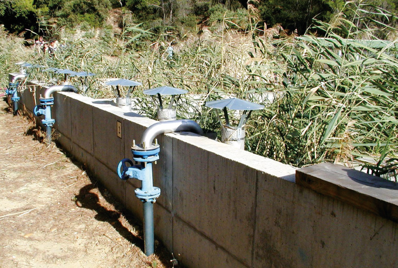
Dewatering sewage sludge using sludge drying beds with wetland vegetation, the so-called Sludge Treatment Reed Bed units
At present, the problem of waste disposal is growing worldwide; its secondary use is therefore more than desirable. A pressing problem for many small municipalities that need to build or reconstruct a wastewater treatment plant (WWTP) is solving the issue of processing the resulting sludge and its stabilization, sanitation, and further application. It is not unusual for small municipal WWTPs to lack a complete in-situ sludge management (including dewatering etc.). Sewage sludge is thus often pumped out at high cost and transported to a large WWTP. The main goal for the real application of sewage sludge is to prevent future damage to soils, plants, and the health of animals and people. For this reason, taking into account the substances currently present in the sludge (e.g., organic micropollutants), it is advisable to sufficiently pre-treat the sludge, not just sanitize it to eliminate above-limit microbial pollution.
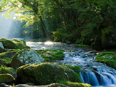
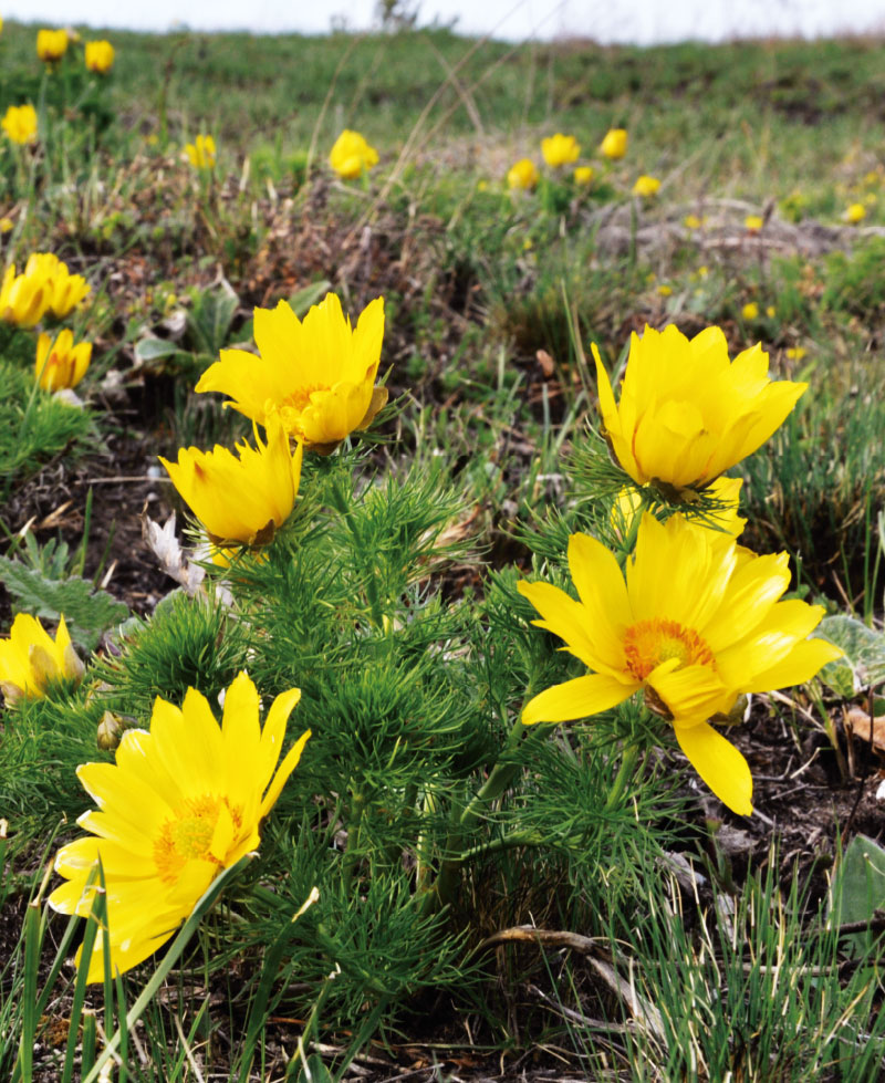
The Výrovka river basin as a suitable area for monitoring and comparing hydrological and landscape characteristics
The Výrovka river basin, as a compact area covering 542.5 km2, is very suitable for monitoring hydrological characteristics and comparing them in different landscape types. It is located on the border of the Lower Vltava and Upper and Middle Elbe sub-basins, extending in a range of 175–555 m above sea level, with a total of six landscape types according to the typology of the contemporary landscape of the Czech Republic. Simultane-ously, there is a varied mosaic in terms of geological subsoil and soil types. There have also been major changes in land use in this basin, mainly due to intensive agricultural activity and related watercourse modifications and amelioration. Monitoring activities within the project SS02030027 ”Water systems and water management in the Czech Republic in conditions of climate change” are currently taking place in the Výrovka river basin.
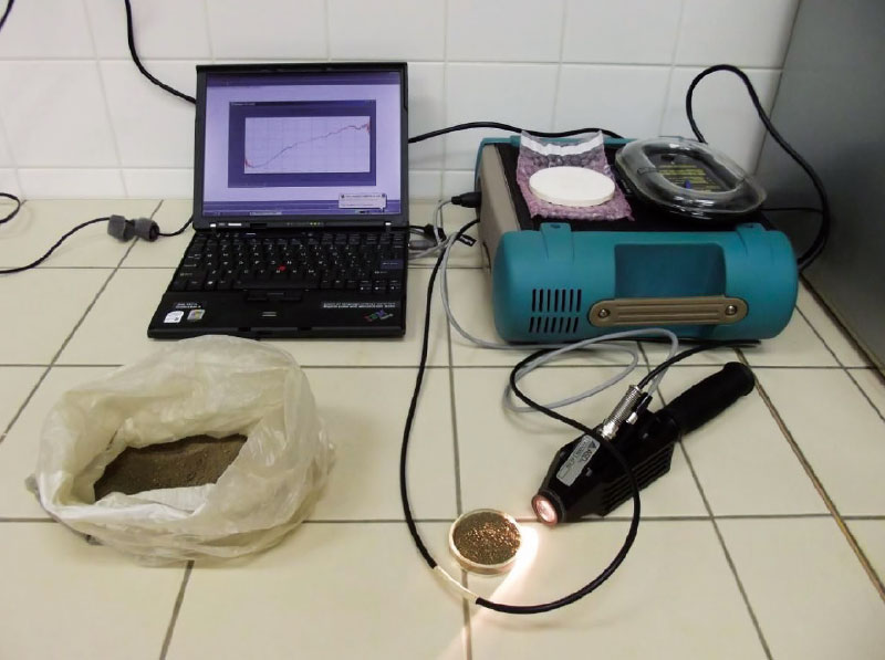
Possibilities of using spectroscopy for the evaluation of forest soil properties
The aim of this study was an objective assessment of application of VNIR spectroscopy for predicting properties of forest soils. For each soil property were found the most appropriate combination of statistical methods for pre-processing (continuum removal, 1. derivation, 2. derivation) and processing (PLSR, PCR, SVM) of certain spectral bands. As generally successful shows a combination of methods 1. derivation and support vector machine throughout the VNIR spectral range (400–2 500 nm). In some cases, however, they proved to other models. Among the best predictable features include pH, content of oxidizable carbon, aluminum, iron, silicon, or calcium (at higher concentrations). Not very high success rate prediction was found in indicators that take low values (sodium, manganese, aluminum or ferrous complexes). The results show that VNIR spectroscopy method is applicable for predicting properties of forest soils. It can not completely replace traditional analysis, but it can very well complement, especially in practice. For example, when the soil mapping can help thicken network data and refine the information better than other methods of spatial estimation. It is applicable in cases where it is required large amounts of data in a short timeframe and at minimal cost. It is suitable for monitoring trends over time, or for a quick survey of an area.
Vertical distribution of radioactive caesium-137 in soil
In the past, the environment of the Czech Republic was contaminated with anthropogenic radionuclides as a result of atmospheric nuclear weapon testing and the Chernobyl accident. The paper summarises results of vertical migration of 137Cs in soil in selected sites, performed as part of collecting data for ground water vulnerability assessment. Three sites with a different land cover were included (forest, meadow and arable land). In order to determine vertical migration of anthropogenic radionuclides, soil samples were collected up to the depth of 100 cm and subsequently analysed using the gamma-ray spectrometry.
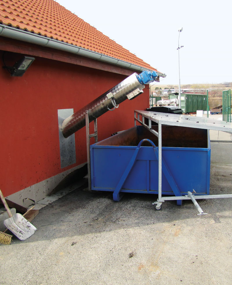
Study of the effectiveness of the small municipal sourcess sewage sludge extensive stabilization for their use as a fertilizer
The article is devoted to the presentation of partial results of a study aimed at determining the potential use of extensive sludge dewatering technology for small municipal WWTPs (up to 1000 PE) in the conditions of the Czech Republic. The study has shown that the use of technology based on extensive sludge dewatering and their stabilization in sludge dewatering reed beds with suitable wetland vegetation can be an alternative to other technologies. Especially in combination with constructed wetland (CW) based WWTPs, which are characterized by lower sludge production.
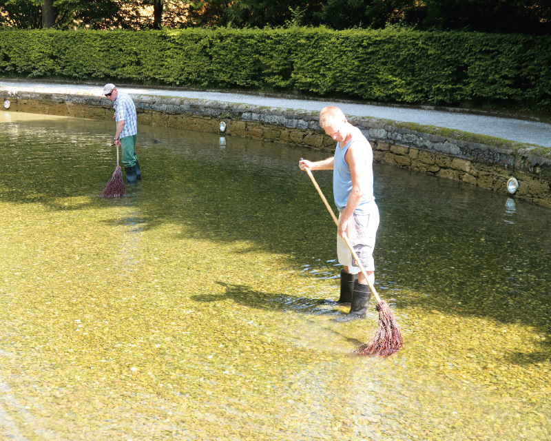
Fidings from testing of selected biochemical products to the heritage sites water elements environment adjustment
The article is focus on the presentation of knowledge from testing of selected biochemical preparations for the treatment of the environment of water elements of historical gardens and parks and cultural monuments.