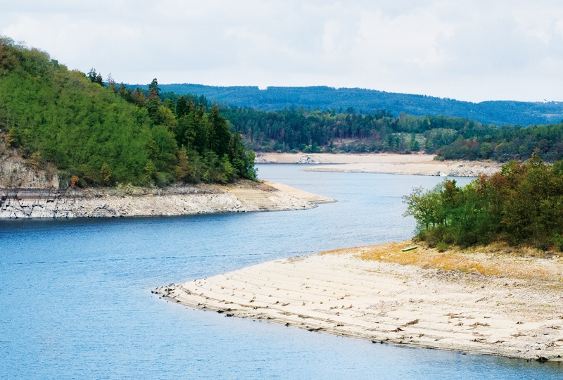
Will summer flows in watercourses be a half lower by 2060?
The increase in potential evapotranspiration due to warming is quite often used as an indicator of ongoing and predicted changes in the hydrological balance. However, without assessing its effect in basins with different precipitation regimes, it is not correct to consider a change in potential evapo-transpiration as an increase in actual evapotranspiration or a decrease in runoff.
Estimation of natural groundwater resources in hydrogeological zones in the Czech Republic under changing climatic conditions 1981–2019
In the Czech Republic, hydrogeological zones were defined as early as 1965 as a part of the regional hydrogeological survey. A hydrogeological zone (HGZ) is defined as a unit with similar hydrogeological conditions, defined tectonically and geologically, in whose territory a certain type of aquifer and groundwater circulation prevails. The boundaries of HGZs have been modified over time and their numerical hydrogeological characteristics have been determined by various methods; one of the basic characteristics is the amount of natural groundwater resources. Natural resources are the dynamic component of groundwater and are expressed in m3.s-1. They are determined by the recharge of water to the aquifer system (precipitation, groundwater overflows from other aquifers, natural infiltration of surface water, etc.). If the HGZ is hydrogeologically closed, the long-term average of its recharge from precipitation and the long-term average of baseflow can be used as an estimate of the natural groundwater resource. In the “Groundwater Rebalance Project”, estimates of natural groundwater resources in 152 hydrogeological zones in the Czech Republic were processed and are presented in the report [1]. The natural resources were determined by several different methods using data from 1971–2010 and 2000–2010.
Extreme multi-annual hydrological droughts in the Elbe river basin
The aim of the study was the evaluation of multi-year hydrological droughts in the Elbe river basin for the Děčín stream gauging station (catchment area 51 104 m2). Average monthly flows from period 1851–2000 are available for the station. For this period, we also compiled a series of average monthly precipitation and temperatures from several data sources. We calculated annual values for precipitation, temperatures and differences in annual precipitation and runoff, then we computed long-term averages and regression linear trends for change over time. The trends are only slightly upward for all three variables, but long-term fluctuations in precipitation are more significant. According to the quantified multi-year average flows and precipitation, we searched for and merged cases from which one continuous drought lasting at least 5 years is generated for both precipitation and runoff. We quantified deficit volumes for individual drought periods. The long-term average flow was chosen as the threshold flow. The hydrological drought 2013–2020 had the longest duration, almost 7 years, of all droughts since 1851 and was also characterized by the largest total deficit volume. When compared to the average annual deficit volume, it is only in fourth place. When comparing the time series of monthly flows, it turned out that cases from different periods have similar patterns and behavior.
Changes in precipitation and runoff in river basins in the Czech Republic during the period of intense warming
The basic meteorological variables that affect the hydrological regime are atmospheric precipitation and air temperature. Both fluctuate not only in the short term and in the annual cycle, but also in the long term. Long-term changes in both of these variables have the character of periodic fluctuations around the mean values. Since about 1980, there has been a systematic increase in air temperature in the Czech Republic. This article provides information on how the climate fluctuations that this change brings affect the precipitation and runoff regime in our territory.
Growth and decline of fishery in Poděbrady and Nymburk Estates from the point of view of historical hydrology
This contribution presents a current occurrence of drought periods and declines of fishponds (including entire fishpond systems), in Poděbrady and Nymburk counties. Such relation is not straightforward, when we consider fishponds as reservoirs of water and energy.

The biggest floods in 100 years
Tento příspěvek je komplikací největších povodní v České republice, které se udály za uplynulých sto let, a přináší popisy těchto jednotlivých katastrof.
Activities of the Civic Forum of the Water Management Research Institute in 1989 and 1990
Organizační a dislokační struktura pražských složek Výzkumného ústavu vodohospodářského (VÚV) byla v roce 1989 dosti členitá. Skládal se jednak z tradičních složek vodohospodářského výzkumu, označovaného souhrnně úsek 20 se sídlem v Podbabě, experimentální skupina věnující se problematice čištění odpadních vod byla umístěna v prostorách budovy v Papírenské ulici.
Water loss by evaporation from free water surface
Evaporation from free water surface is one of the important factors affecting the total water balance of a catchment. Since direct measurement of evaporation is complicated, evaporation is in practice often calculated using formulas based on common meteorological variables.

Long-term fluctuations of Vltava River flows in Prague
The first part the present study contains recommendations for the selection of representative observation period used for the calculation of average flow characteristics. This is the result of calculations based on time series of flows of the Vltava River in Prague with beginning in 1801.
Hydrological balance and available water resource in the czech republic during hydrological drought
The article deals with the assessment of the hydrological balance in a monthly time step in the territory of the Czech Republic, which was divided into 133 sub-basins for the period 1981–2015.
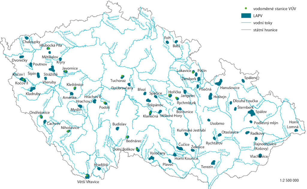
Possible compensation of negative climate change impacts using the localities for potential accumulation of surface water
The list of localities potentially suitable for accumulation of surface water (LASW) exists in the Czech Republic from the beginning of 20th century.