Atmospheric deposition as a possible source of surface water pollution (Results of the project, part 2. – polycyclic aromatic hydrocarbons)
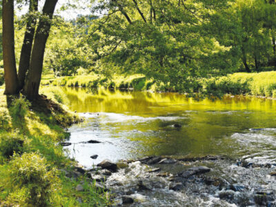
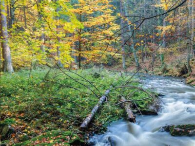
From October 2020 to September 2021, in two forest micro-catchments in the Czech Republic, the quality of wet atmospheric deposition (bulk and throughfall) was monitored simultaneously with the surface water quality in the local watercourse, humus, and the moss species Pleurozium schreberi. An evaluation is presented of the 15 polycyclic aromatic hydrocarbons (PAHs) burden of the above-mentioned matrices. The first site was chosen in the Beskid Mountains in the Moravian-Silesian region, in the cadastre of the village of Bystřice in the upper basin of the Suchý stream (altitude 590 to 835 m a.s.l.). This area is affected by industrial activities. The second reference site was chosen in the Bohemian-Moravian Highlands near Košetice observatory (altitude 520 m a.s.l.).