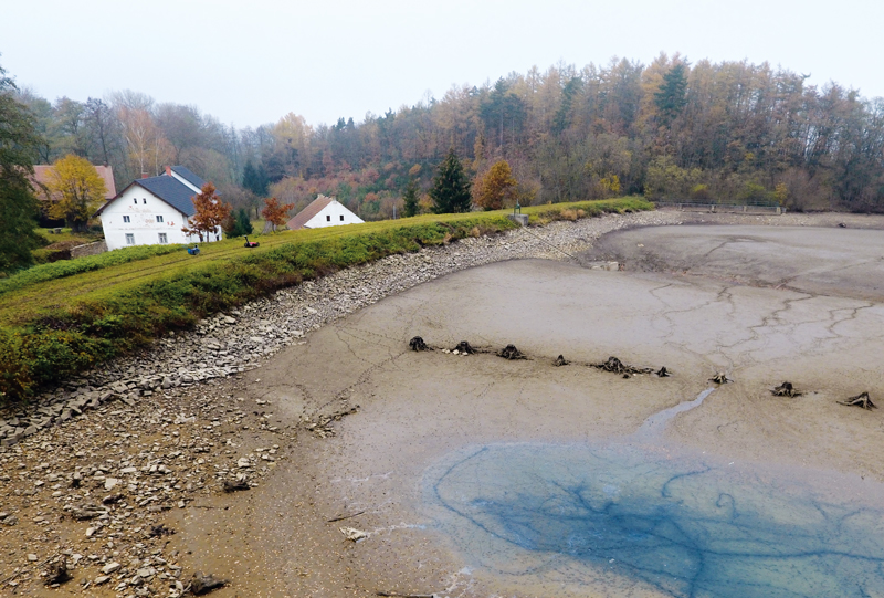
The dams of historical ponds in terms of shape and stability
The article presents the results of the evaluation of the fishpond dams shape in the region of Kostelec and Kouřim in the Central Bohemian Region. The shape of the dams was assessed on the basis of a detailed digital terrain model derived from the data of Digital Relief Model of 5th Generation.
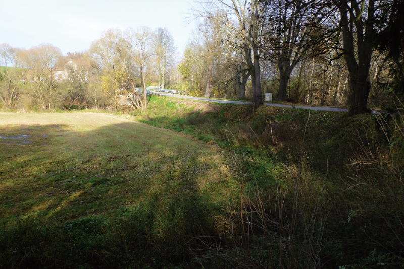
Identification of ponds in the Blanice catchment area on maps of 1st Austrian Military Survey
The article focuses on the identification of fishponds dawn on the maps of the 1st Austrian Military Survey. The presented analyses are based mainly on manual work with old maps, because the maps used for the study lack the precision and detail needed for automated processing in the GIS environment.