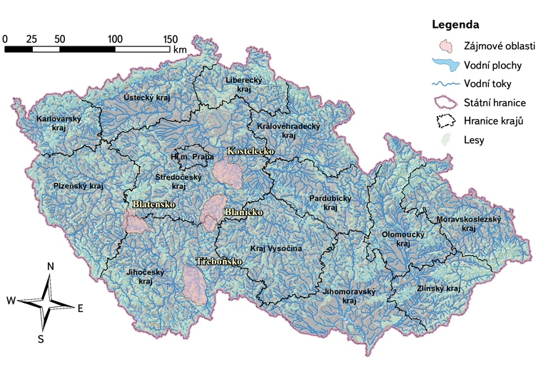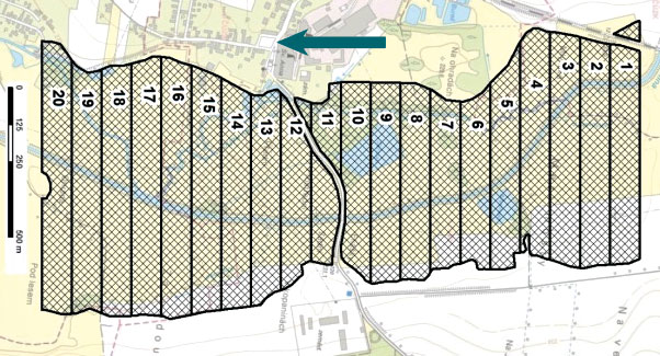
Selected results of reported River Basin Management Plans in the Czech Republic
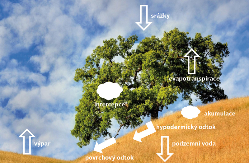
River Basin Management Plans data processing enables obtain not only detailed summary of results, but also appreciates relations between partial results and their significance to achievement of specified objectives.