
Atmospheric deposition of polycyclic aromatic hydrocarbons in the pilot catchment area of Výrovka and urban areas of Prague and Ostrava
Atmospheric deposition is the most significant source of polycyclic aromatic hydrocarbons (PAHs) in surface waters in the Czech Republic. These substances originate predominantly from combustion processes. Through deposition, PAHs reach the Earth’s surface and are subsequently washed into surface waters. Although the state and the private sector have implemented a number of measures in recent decades to reduce emissions, not only from major pollution sources but also from households (local heating), these substances continue to have a significant impact on the aquatic environment. Selected PAHs are included on the list of priority substances due to their proven adverse effects on aquatic organisms and human health, and strict environmental quality standards have been set for them in surface water and biota matrices. Con-sequently, most surface water bodies do not achieve good chemical status according to the Water Framework Directive 2000/60/EC. Research in the Výrovka river basin (a tributary of the Elbe river) comprehensively addressed PAH contamination in relevant matrices of the aquatic environment and in Schreber’s big stem red moss (Pleurozium schreberi), which is a suitable indicator of air pollution. At the same time, PAH fluxes in wet deposition in selected urban locations were monitored for comparison. The origin of PAHs was assessed using fingerprinting, based on the analysis of ratios between individual PAHs in the monitored matrices, enabling the distinction between petrogenic and pyrogenic sources.

Tools for risk assessment of catchment areas for abstraction points of water intended for human consumption
In December 2020, the new EU Directive 2020/2184 on the quality of water intended for human consumption was published. This Directive places a strong emphasis on comprehensive protection of water resources and introduces an obligation to carry out risk assessment and risk management of the catchment areas for abstraction points of water intended for human consumption, compared to the previous Directive from 1998. The risk analysis of the catchment areas must be carried out for all water abstractions for drinking purposes that abstract more than 10 m3 raw water per day. In the Czech Republic, this concerns approximately 3,650 abstractions (of which about 3,500 are groundwater abstractions and about 150 surface water abstractions). On a nationwide scale, it is therefore a considerable amount of risk analyses of parts of the catchment areas, which, according to the Directive, must be performed by 2027. The main aim of the project “Tools for risk assess-ment of catchment areas for abstraction points of water intended for human consumption” (supported by the Technology Agency of the Czech Republic) is to develop a methodology for the preparation of this risk analysis of the catchment areas. In order to ensure that the risk analyses of the catchment areas to be prepared by different entities have a uniform form and structure, a form (mock-up) of what the risk analyses of the catchment areas should look like and what they should contain has been developed within the framework of the methodology. As this is a very complex issue, only the main skeleton of the methodology will be presented in this article, focusing on the basic characteristics of the abstraction and the definition of the area (the catchment areas) in which the risk activities for the quality of the abstracted raw water are determined.

Assessment of the status of surface water bodies in the Czech Republic for 2019–2021
The article presents the results of the assessment of the status of surface water bodies in the Czech Republic for 2019 to 2021. The status assessment has been carried out by T. G. Masaryk Water Research Institute, p. r. i. (TGM WRI), Biology Centre CAS, and the Czech Hydrometeorological Institute (CHMI). The status of the water bodies was evaluated according to monitoring data from the River Boards state enterprises and – in the case of selected priority substances in biota – from the CHMI. The assessment procedures were the same as in the previous status assessment for 2016 to 2018, which was incorporated into the river basin management plans for the third planning period. The article focuses on presenting the results of the assessment, which was prepared by the TGM WRI. It is a summary assessment of the ecological and chemical status of water bodies, an evaluation of chemical and physico-chemical indicators and a comparison of the results of the assessment for 2019 to 2021 with the assessment for 2016 to 2018. In 2019 to 2021, good chemical status was not achieved in 57.6 % of water bodies; the problematic pollutants are mainly polyaromatic hydrocarbons; in the ‘biota’ matrix there was also mercury and brominated diphenyl ether. Good ecological status/potential has not been achieved in 92.3 % of water bodies; the problematic indicators are mainly biological quality elements and phosphorus.
Atmospheric deposition as a possible source of surface water pollution (Results of the project, part 2. – polycyclic aromatic hydrocarbons)
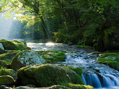
From October 2020 to September 2021, in two forest micro-catchments in the Czech Republic, the quality of wet atmospheric deposition (bulk and throughfall) was monitored simultaneously with the surface water quality in the local watercourse, humus, and the moss species Pleurozium schreberi. An evaluation is presented of the 15 polycyclic aromatic hydrocarbons (PAHs) burden of the above-mentioned matrices. The first site was chosen in the Beskid Mountains in the Moravian-Silesian region, in the cadastre of the village of Bystřice in the upper basin of the Suchý stream (altitude 590 to 835 m a.s.l.). This area is affected by industrial activities. The second reference site was chosen in the Bohemian-Moravian Highlands near Košetice observatory (altitude 520 m a.s.l.).

Atmospheric deposition as a possible source of surface water pollution (Preliminary results of the project, part 1 – heavy metals)
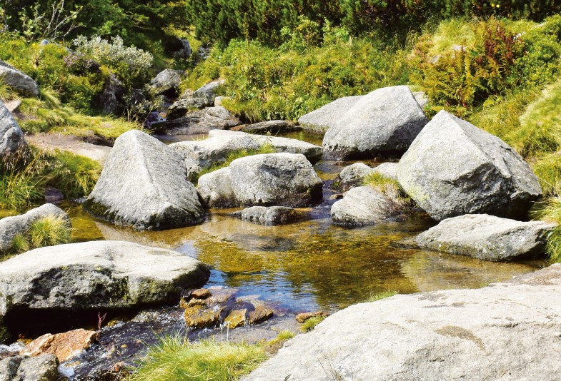
Na pilotních lokalitách v Jizerských horách, Moravskoslezských Beskydech a na Českomoravské vrchovině byly v průběhu jednoho roku sledovány koncentrace vybraných těžkých kovů v atmosférické depozici a povrchové vodě s cílem určit významnost vlivu srážek na kvalitu povrchových vod v antropogenně málo ovlivněném prostředí. Dosažené výsledky ukazují, že u vybraných kovů může atmosférická depozice v některých případech představovat významný vnos do povrchových vod. Na výslednou bilanci látkového odnosu má zásadní vliv charakter prostředí a jeho zatížení v minulosti.
Risk assessment as a comprehensive approach to protection of drinking water sources
Drinking water supply as well as its quality form one of the basic pillars of modern society. This corresponds to the goal of the International Water Association (IWA) – good, safe and drinkable water, which enjoys consumer confidence and can be not only drunk without fear, but in which the consumer also appreciates its taste and aesthetic appearance. In order to meet these objectives, it is important to set drinking water quality requirements and also to keep the whole process of drinking water production and distribution, including all risk areas, under continuous control.
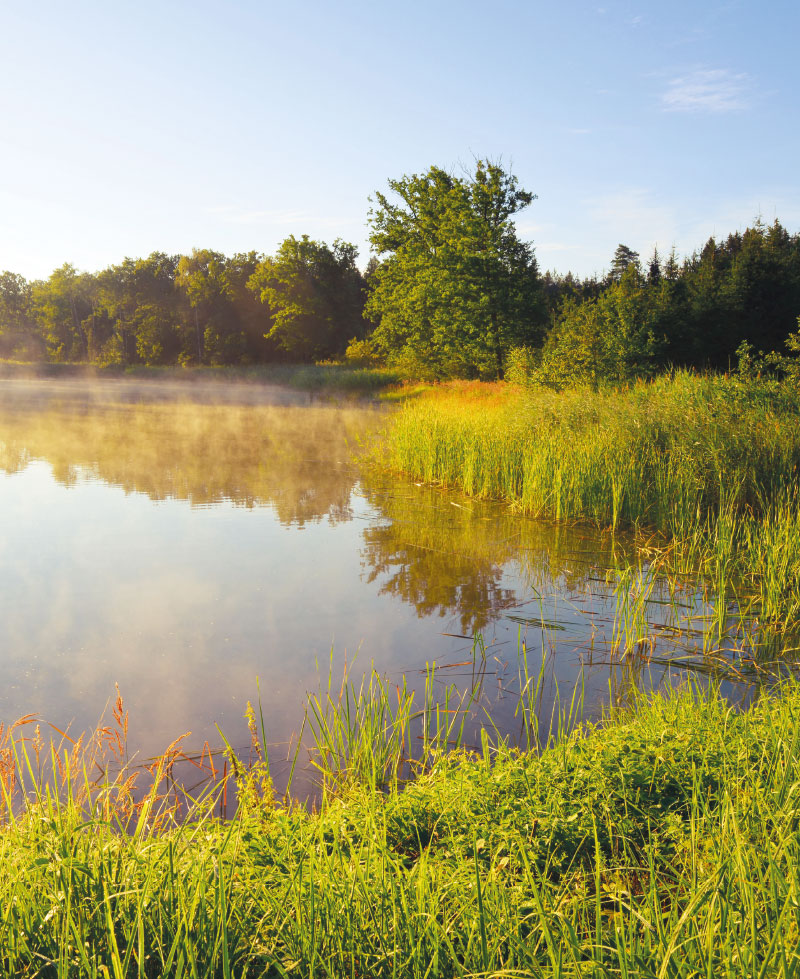
The Výrovka river basin as a suitable area for monitoring and comparing hydrological and landscape characteristics
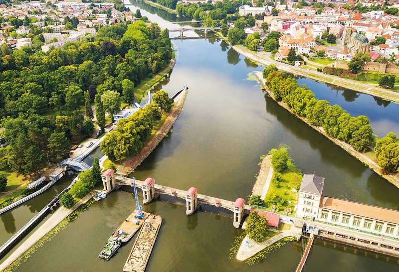
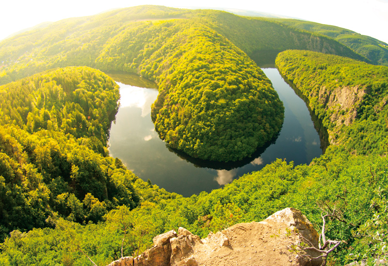
The Výrovka river basin, as a compact area covering 542.5 km2, is very suitable for monitoring hydrological characteristics and comparing them in different landscape types. It is located on the border of the Lower Vltava and Upper and Middle Elbe sub-basins, extending in a range of 175–555 m above sea level, with a total of six landscape types according to the typology of the contemporary landscape of the Czech Republic. Simultane-ously, there is a varied mosaic in terms of geological subsoil and soil types. There have also been major changes in land use in this basin, mainly due to intensive agricultural activity and related watercourse modifications and amelioration. Monitoring activities within the project SS02030027 ”Water systems and water management in the Czech Republic in conditions of climate change” are currently taking place in the Výrovka river basin.
TGM WRI HEIS: 25 years of development and operation of the information system
V letošním roce je tomu rovných 25 let od zahájení vývoje (a následně pak provozu) Hydroekologického informačního systému VÚV TGM (HEIS VÚV). Tato doba je z hlediska kontinuálního vývoje a provozu informačního systému v současném prostředí takřka neustálých technologických a organizačních změn téměř úctyhodná a zcela jistě si zaslouží jak alespoň malé ohlédnutí za uplynulým obdobím, tak také stručnou rekapitulaci zaměřenou na současnost informačního systému (čtenář může namítnout, že zde by se nabízelo zmínit se podrobněji i o výhledu a plánech do budoucnosti, v této oblasti si však spekulovat příliš netroufáme, a proto ji zmíníme pouze stručně v závěru textu).
Environment for life program and projects solved in TGM WRI
Environmental protection is one of the important societal needs. Appropriately oriented applied research is also necessary for its fulfillment.

Selected results of reported River Basin Management Plans in the Czech Republic
River Basin Management Plans data processing enables obtain not only detailed summary of results, but also appreciates relations between partial results and their significance to achievement of specified objectives.
Surface water body typology category river in the 1st and 2nd cycle of River Basin Management Plans and its consequence to ecological status assessment
Surface water body delineation and setting a typology are one of the initial steps during Water Framework Directive implementation (WFD) [1]. The first delineation and typology was prepared in 2004–2005 for the first plans, but all the results were significantly changed in the second cycle 2009–2010.
Reporting of River Basin Management Plans under Water Framework Directive in 2016 in the Czech Republic
In 2015 the River Basin Management Plans (RBMP’s) for the 2nd planning cycle under Water Framework Directive were designed and approved. According to the Directive the copies of the RBMP’s were sent to the Commission by 22. 3. 2016.