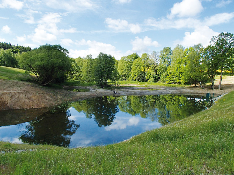
The pond system on the Bečvárka river
The article presents the pond landscape development in the Bečvárka river basin based on the interpretation of archival and current maps, including verification of the current state of pond locations. Eleven ponds with a total area of 65.28 ha were recorded on the map of the 2nd Military Mapping. Sixteen ponds with a total area of 76.64 ha were recorded on the current map. The current ponds’ total area is approximately 11 ha larger than the area of the historical ponds. This is despite the fact that almost all individual historical ponds had an area larger than at present. One of the main reasons for this is the later construction of two large ponds in the area. From a comparison of the maps, it is clear that the reduction in the areas of individual historical ponds at present is mainly caused by the overgrowth of the littoral zone.