Current status of monitoring selected PFAS in surface waters in the Czech Republic
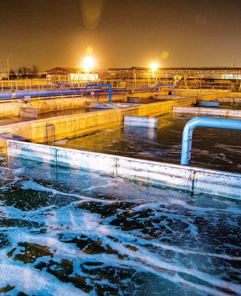
Per- and polyfluorinated compounds (PFAS), a group of fluorinated compounds of anthropogenic origin, have been classified as a persistent organic substances of significant concern due to their chemical properties, widespread use in a number of industrial sectors, environmental spread, long term bioaccumulation potential, and resulting risk to human health. This article brings an overview of current knowledge about the occurrence of PFAS in the environment, mainly in surface, ground, and drinking water and about the methods of their removal from con-taminated water. Furthermore, the legislative requirements regarding PFAS at the level of the EU and Czech Republic are summarised here, including the list of compounds according to the Directive of the European Parliament and the Council 2020/2184 and the Proposal for a Directive of the European Parliament and the Council 2008/105/EC.