Historical changes in water use in Czech third-order catchments and indications of potential trends based on new regional climate models by the CHMI
The article presents the results of the Czech Hydrometeorological Institute (CHMI) obtained when addressing the sub-objectives “Scenarios of future water needs for different climate scenarios and individual sectors of water use” (DC 1.1) and “Identification of areas with deficient water resources” (DC 1.2), which are part of TA CR project No. SS02030027 “Water systems and water management in the Czech Republic in conditions of climate change (Water Centre)” and constitute specific tasks within the work package WP1 focusing on the future of water. The aim of the CHMI was to calculate and analyse how river flows upstream of gauging stations in Czechia are influenced by water use and to determine how this influence may change in relation to climate change.
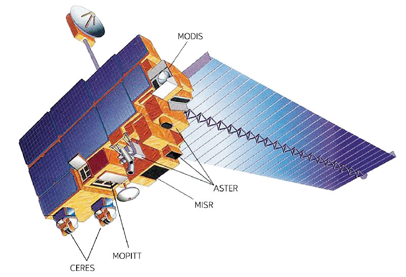
Zero isochion in the framework of geomorphological regions in Czechia: its extraction from the MODIS imagery and its dynamics
Since December 2012, during every winter season, the altitude of the zero isochion (snowline) has been determined at the Czech Hydrometeorological Institute for the purposes of operational hydrology. The reason is the estimation of the amount of water stored in snow cover, which is inevitable activity for Czech hydrologists who naturally want their forecasting models to give relevant results. In order to get a better idea about current spatial distribution of snow cover in Czechia, the information on the zero isochion has been extracted from the MODIS imagery coming from the Terra satellite.
IAHS International Commission on Remote Sensing
The International Commission on Remote Sensing (ICRS), as one of the current ten scientific commissions under the umbrella of the International Association of Hydrological Sciences (IAHS; [1]), has emerged as a logical response to the availability of spatial data associated with the launch of the first satellites in the 1970s that were designed to observe the Earth’s landscape sphere from space, providing a completely new perspective in which the spatial extent of the territory under observation played the major role.

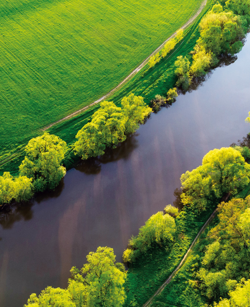
Use of Earth remote sensing methods to monitor the condition of bathing sites
The Ministry of Health in cooperation with other related bodies compiles, on an annual basis, the List of outdoor bathing sites on surface waters where the bathing service is offered by the operator, and other surface waters used for bathing. It is compiled based on the long-term monitoring, performed, exclusively as in-situ measurements, by the regional hygiene stations. With respect to the fact that this way of monitoring is not only time-consuming but also financially demanding, the need for minimizing these expenses naturally arises.
Prague’s statement on the need for the development of systems of management of water resources
Hydrosphere is facing a global water crisis caused by uneven availability of fresh water in time and space, overuse of resources, environmental degradation and frequent occurrence of floods and droughts.
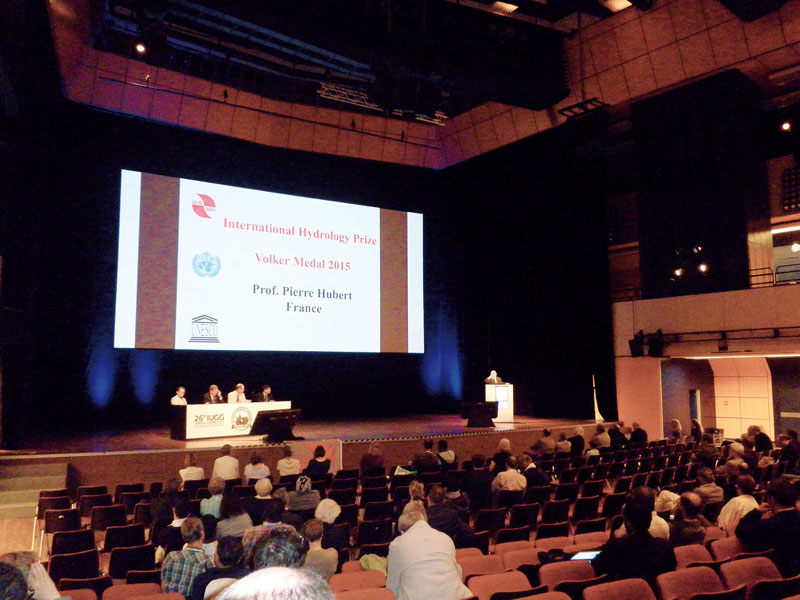
The plenary session of the International Association of Hydrological Sciences took place in Prague and has been approved Prague Statement
The Czech capital city had in the period between June 20 and July 2, 2015 the honor to host the 26th General Assembly of the International Union of geodetic and geophysical (International Union of Geodesy and Geophysics, IUGG), on which showed an interest in nearly 5,000 scientists from around the world.