Some aspects of catchment protection upstream of future reservoirs
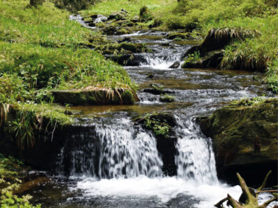
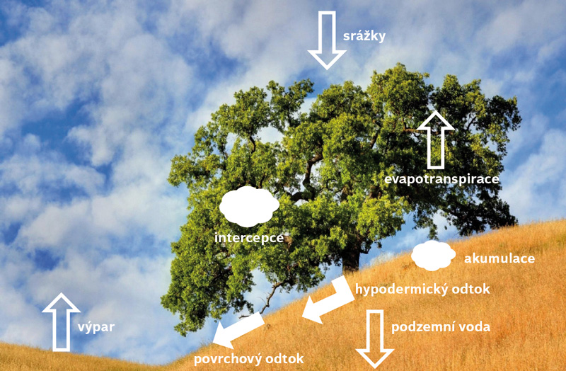
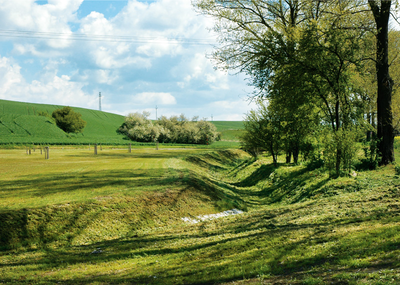
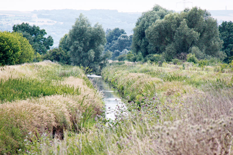
Protected areas of natural water accumulation have been long monitored and protected. So far, little attention has been paid to the catchment area which will be the future source of water for these water reservoirs from the point of view of influencing their quality. This article focuses on certain diffuse (non-point) processes that may lead to pollution and thus to limited use of accumulated water. It describes the methodology for identifying critical points in the vicinity of the future reservoir, where an excessive amount of sediment loads will enter the aquatic envi-ronment during torrential rainfall events. This will lead to sedimentation of the reservoir as well as to the input of dissolved pollutants. The methodology was applied to all 61 selected sites; the results are clearly presented in Tab. 1 and further discussed. As another non-point aspect, the representation of so-called Nitrate Vulnerable Zones within the reservoir catchment areas is evaluated. Although these areas are assessed in terms of excessive nitrate levels in water, other undesirable compounds used in agriculture may also occur there. As a third aspect, the article describes the status of the land consolidation process in the monitored catchments and discusses their contribution to catchment protection. In conclusion, it is stated that it would be necessary to enshrine into legislation the protection of LAPV catchments, especially for those reservoirs intended for drinking water supply.