
Reconstruction of the July 1903 flood in the Opava River basin using GIS and hydrological models
The 1903 flood was undoubtedly one of the most significant floods of the 20th century in Moravia and Silesia. Although systematic observa-tions of water levels had already begun at many gauging sites during this period, it is difficult to convert historical water levels recorded at limnigraph stations into present-day equivalents due to historical territorial changes in terms of politics (Prussia versus the present-day Czech Republic), landscape structure (forest cover in the historical and present-day landscape), morphology (terrain and urban development in the affected areas), and water management conditions (the course of the Opava river channel and the condition of water flumes in 1903 and today). Useful (though not always entirely reliable) sources include historical flood marks, photographic documentation, historical maps and plans, reports in the contemporary press, family chronicles, and the recollections of millers, sawyers, and other craftsmen using water power. These sources form a rather heterogeneous body of evidence, and it is therefore necessary to find ways to verify and combine them. One possible approach is to use these data in GIS-based spatial analyses and subsequently as inputs for rainfall–runoff and hydraulic model-ling. Since the team of the Czech Hydrometeorological Institute (CHMI), together with its partners, had already conducted similar analyses (e.g. during the reconstruction of the 1872 historical flood on Blšanka), they also attempted to apply this approach to the 1903 flood on the Opava river. The results, including a partial uncertainty analysis, are presented in this article.

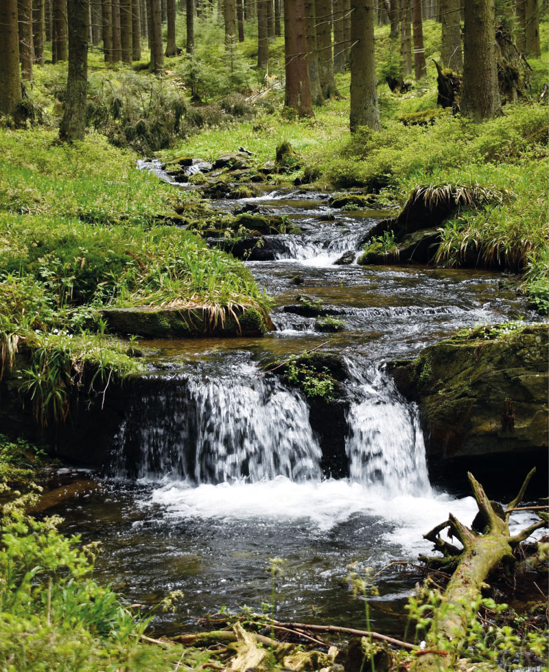
Measurement and modelling of changes in the runoff regime following calamitous decay and regeneration of forest stands in small catchments in the Jeseníky Mountains
The article presents partial results of monitoring and modelling in the experimental forest catchments of Suchý, Sokolí, and Slučí streams, the right-handed tributaries of the Černá Opava in the Jeseníky PLA. These results have been generated since 2022 thanks to the NAZV project No. QK22010189 “The impact of deforestation on the water regime of small river basins” with the working title DEFOREST, which also evokes the main goal of the project; to try to capture changes in the dynamics of stands (decay, controlled and spontaneous succession, etc.) and in the runoff regime of these river basins with regard to bark beetle outbreak and the subsequent damage clearing. In all these experimental river basins, monitoring of selected hydrological regime elements (e.g. precipitation on the open area, under-canopy precipitation, volumetric soil moisture, snow gauge sensors) was established, including stationary measurement of water levels in the closing profiles of all three sub-river basins. For modelling of stand changes and hydrological response to these changes, forest stand models (including the self-developed DEFOREST application) and hydrological models HEC-HMS, SIMWE, MIKE SHE and SWAT were used. The extreme flood in September 2024 largely destroyed the water gauging stations and remodelled the watercourse beds, so in 2025 the project team will focus on restoring monitoring.
Verifying the applicability of methods for modelling erosion and connectivity of sediments in the Slavíč catchment in the Moravian-Silesian Beskydy mountains based on geomorphological mapping of fluvial processes
As part of the research activities of the Hydrology Department of CHMI Ostrava, field investigations and measurements are being carried out in several catchments to verify the outputs of GIS tools, empirical formulas, and mathematical models focused on surface runoff, fluvial erosion, and sediment transport. The main emphasis is placed on the influence of deforestation and land use changes on rainfall-runoff relations and fluvial erosion, especially within the framework of the NAZV “DEFOREST” and “CLIMCFOR” projects, in which CHMI collaborates with the Forestry and Game Research Institute (VÚLHM), the Bishopric of Ostrava-Opava, and Water Management Development, and Construction joint stock Company (VRV). The presented article deals with the possibilities of analysing fluvial processes and disconnectivity of flows in the Slavíč catchment in the Moravian-Silesian Beskydy Mountains. ESRI ArcGIS and GRASS GIS tools were used for these analyses. Field verification of outputs took place at several sampling points within the main stream Slavíč.