Prague

The influence of Prague on water quality in the Vltava and the Czech Elbe

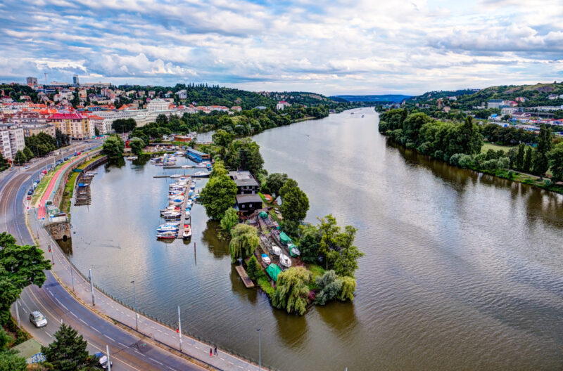
Paper deals with the development of water quality of the river stretch of Elbe between the confluence Elbe/Vltava and the Hřensko/Schmilka on the frontier Czech Republic/Federal Republic of Germany in the period 1980–2020 and with the influence of Prague City on its pollution. After the significant improvement in the period 1985–2000, the quality of water discharged through the profile Hřensko generally complies with the German level at least. Assessment of the transport budgets shows that Vltava river contributes more to the system only as having higher water discharges. Prague City contributes to the pollution of Vltava and Elbe only by discharge of phosphorus, for the rest of common pollution items it functions only as a non-significant source.
Water quality and state of aquatic invertebrate populations in small watercourses in Prague

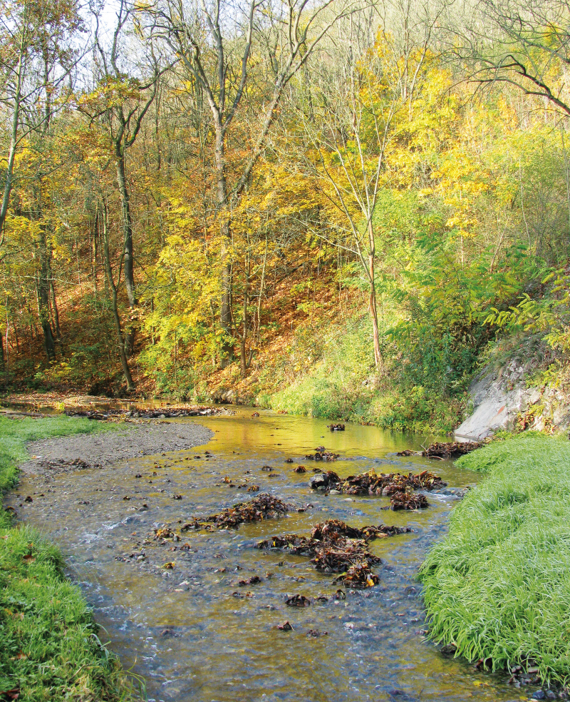
The aim of this paper has been to evaluate the ecological status of small watercourses in the capital city of Prague by analogy to the evaluation of water bodies pursuant to Directive 2000/60/EC. A total of eight sites were selected at seven watercourses (Šárecký, Dalejský, Radotínský, Libušský, Kunratický, Botič and Rokytka Streams). Both sections that are semi-natural and those that have been restored in various ways were selected. From May 2017 onwards, annual sampling of chemical indicators took place in selected sites and a standard multihabitat method was used to take samples of aquatic invertebrates (macrozoobenthos).

Prediction model of water quality around Prague

This article is available in Czech only. For translation or more information on this topic, please contact author.   Souhrn V poslední době se velmi diskutuje – a to nejen mezi odbornou veřejností – o dopadech změny klimatu na vodní režim v přírodní krajině. Řešení OP Praha – pól růstu se zaměřilo i na krajinu… Read more »

Groundwater formation in urban areas regarding peripheral parts of Prague

Groundwater is an integral part of the hydrosphere and hydrological cycle in a healthy landscape, which is better able to withstand hydrological extremes such as floods or prolonged drought. The main source of groundwater is precipitation. There are a number of barriers for infiltration in urban areas – urban and industrial buildings, as well as increasing areas with impermeable surfaces. The aim of the paper is to draw attention to the importance of groundwater in the urban landscape and to possible measures to support the infiltration of precipitation.
The research took place in the territory of outer Prague, where there is an intensive expansion of the built-up area, which is accompanied by a lower infiltration of precipitation, compared to the open landscape. Based on the evaluation of pedological, geological and hydrogeological conditions of the area, a methodology for evaluating the suitability of the area for infiltration was developed. Based on it, two types of maps were created: an infiltration potential map evaluating primarily the permeability of the soil and rock environment, and an infiltration capacity map, in addition emphasizing the size of the free storage volume for infiltrated water. Maps are available for viewing in the map application on the project website heis.vuv.cz/projekty/praha-adaptacniopatreni.

Project CZ.07.1.02/0.0/0.0/16_040/0000380 “Analysis of adaptation measures to mitigate impacts of climate change and urbanization on the water regime in the area of external Prague”

 This article is available in Czech only. For translation or more information on this topic, please contact author. Rádi bychom vás seznámili se základními údaji o projektu, který byl řešen v období 2018–2020 v rámci operačního programu Praha – pól růstu. Za tímto textem jsou pak uvedeny články zabývající se již specifickými tématy, jež byla… Read more »