hydrological regime

Retention potential of beaver dams for surface water storage in the Czech landscape

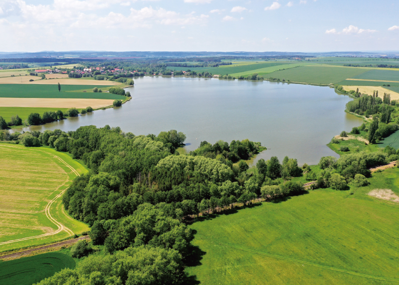
The Eurasian beaver (Castor fiber) is an important ecosystem engineer that alters the hydrological regime of the landscape through its activities. The aim of this study was to quantify the volume of surface water retained by beaver dams in the Czech landscape and to estimate the potential retention capacity of a selected catchment assuming the maximum predicted extent of beaver colonisation. The main focus of the research was to determine the volume of surface water accumulated behind 150 beaver dams at sites in the Plzeň Region (the Křemelná catchment and ten other selected wetlands) and the inundated area of the associated beaver ponds. GIS analyses based on a combination of precise geodetic data and a digital terrain model were used for the calculations.
Typology and effects of roads on runoff regime in protected areas

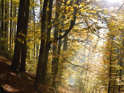
The article presents the results of the project Analysis of Changes in the Water Regime of Land and Watercourses in the Krkonoše National Park Caused by the Network of Roads (TA CR, no. TITSMZP945), implemented as a public procurement commissioned by the Ministry of the Environment of the Czech Republic within the BETA2 applied research programme. The main output of the project is a two‑level typology of the road network in terms of its impact on surface and subsurface runoff. This typology was applied to the territory of Krkonoše National Park (KRNAP) in the Czech Republic and presented in the form of cartographic atlases. The article describes the principles and criteria of the proposed typology and the methodology of its application in map production, which at the basic level combines spatial analyses of road network datasets, digital terrain models and the hydrographic network, and at the detailed level incorporates the results of extensive field surveys. The original analytical procedures include, among other things, the detection of directional and elevation breaks in road segments and the delineation of micro‑catchments for individual sections. The resulting maps provide KRNAP Administration and other managers of protected areas with a tool for identifying road segments with the highest potential impact on the hydrological regime and serve as a basis for planning compensatory measures or restoration interventions.