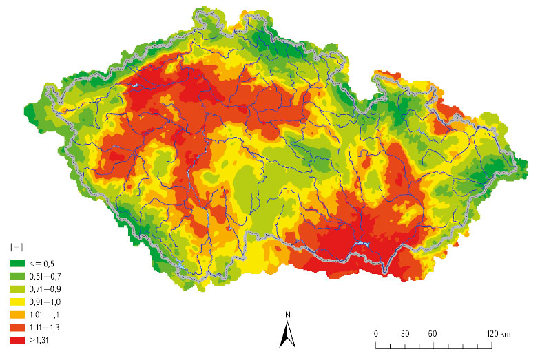
New watersheds for first to fourth order catchment areas
Watershed or catchment area are used as basic input data for a whole range of water management-oriented activities, whether it is rainfall-runoff modelling, calculation of the water management balance, preparation of flood plans, or the use of watersheds as one of the data sources for spatial analysis. A catchment area, defined by its watershed, is also a necessary basis for deriving standard and non-standard hydrological data according to the standard ČSN 75 1400 Hydrological data of surface waters [1] and, at the same time, is the basic spatial unit used in hydrological practice. The definition of a catchment is enshrined in Act No. 254/2001 Coll. (hereinafter referred to as the Water Act) [2], where a catchment is an area from which all surface runoff flows into the sea through a network of watercourses and possibly lakes. A sub-catchment is an area from which all surface runoff flows through a network of watercourses and lakes to a certain point in the watercourse, which is usually a lake or a river confluence. According to decree 252/2013 Coll. [3], hydrological catchments are registered in the form of a polygon based on data from their numerical identifier and the size of the area and are determined on the basis of the hydrological structure of water channels. This identification is the responsibility of the Czech Hydrometeorological Institute (CHMI). From the above it is clear that, in order to accurately determine the watershed of sub-catchments, it is necessary to have the most accurate topographical data available, i.e. the river network with confluences, a defined hydrological structure (the stream order of the mouths of watercourses), as well as the most accurate information about the altitudes of the given area for the correct management of the watershed. In the Czech Republic, CHMI is also responsible for the spatial delineation and numerical registration of watersheds.

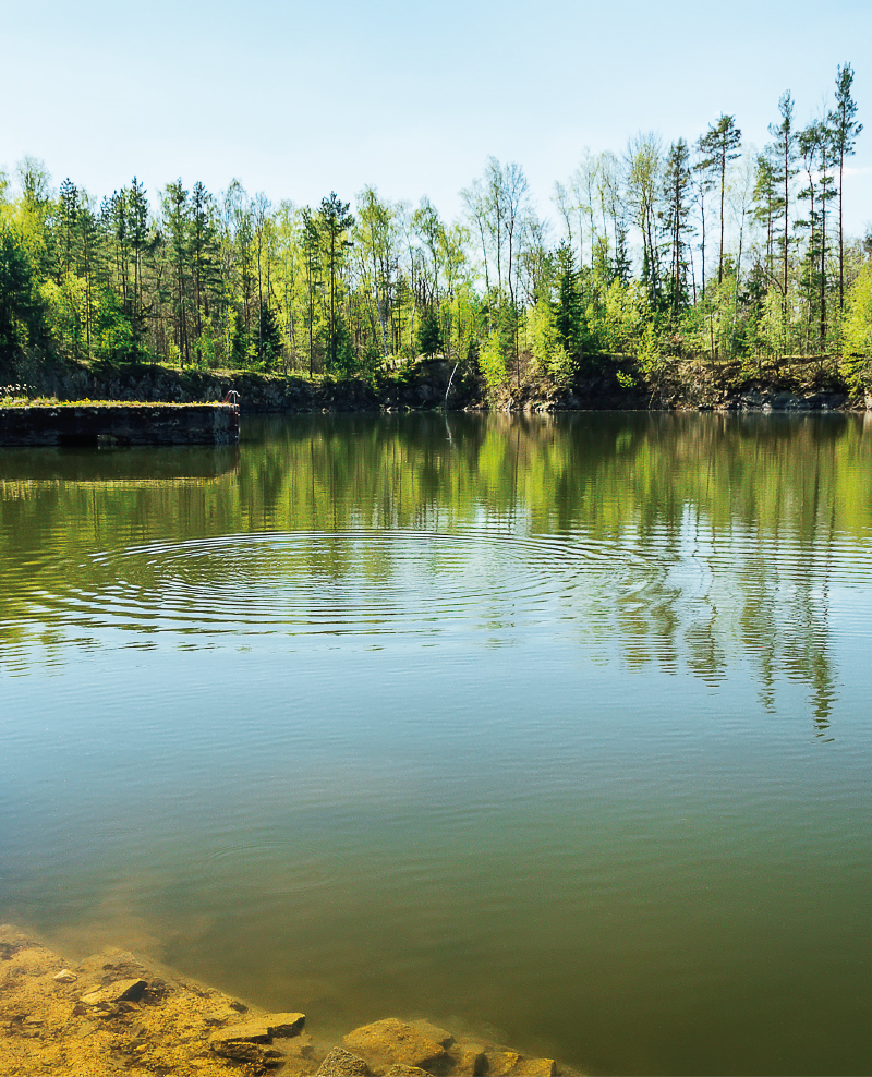
Direct monitoring of water vapor from the free water level of the Vavřinecký pond and its influence on the hydrological balance
With increased average air temperature, there is an increase in water vapour from a water surface. Between 2020 and 2022, evaporation from the water surface was observed with a floating evaporimeter at Vavřinecký pond in the Central Bohemian region. A floating evaporimeter monitors evaporation from the water surface along with basic meteorological quantities directly on the surface of the water reservoir, so its results should be more accurate than calculations based on data from nearby meteorological stations. The results show that in all three years evaporation exceeded precipitation by more than 100 mm between April and September. However, the issue of the influence of small water reservoirs on the hydrological balance is a very complex topic, where the assessment of negative and positive effects is not always black and white and requires detailed investiga-tion.
Practical examples of using GIS in hydrology at the Czech Hydrometeorological Institute
GIS technologies are widely used in the Hydrology Department of the Czech Hydrometeorological Institute (CHMI). The processing of geospatial data, which are used in hydrology for analytical tasks, and the development of GIS technologies in the last two decades have contributed to the spread of GIS in the CHMI practice. The use of GIS tools is shown in four examples. The first one focuses on the creation of GIS data. The second example concerns the preparation of input source data for the derivation of the hydrological characteristics of M-day discharge, which, according to Czech Standard 75 1400 Surface water hydrological data, are among the basic hydrological data. The third example describes the use of GIS in the preparation of hydrological assessments according to the above-mentioned standard (75 1400), which usually result in M-day or N-year-flood discharges in a specified profile of a certain watercourse. The fourth example focuses on the use of GIS in operational hydrological service, specifically in the development of the Flash Flood Indicator, which determines the level of risk of flash flood formation or occurrence based on current land saturation and radar rainfall estimates.
Hydrological balance in selected watersheds of the Czech Republic with focus on drought period 2015–2019
The contribution is aimed to the determination and assessment of a hydrological balance at selected watersheds in Czech Republic during the dry period 2015–2019. Hydrological balance was processed in gauging stations of watershed Blatný stream, Lomnice, Skalice, Žehrovka, Javorka, Cidlina, Botič and upper Sázava river using data from Czech hydrometeorological institute. Monthly, long-term monthly and annual values were calculated for precipitation, runoff and evapotranspiration. Results were compared across the selected watersheds and with long-term period 1981–2010. Runoffs from watersheds were compared with gauging average discharge of an entire observation period.
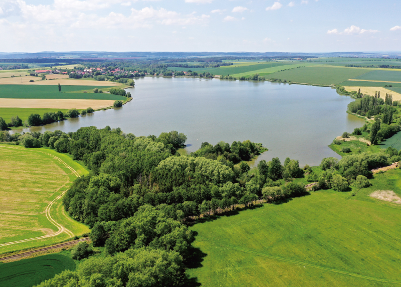
Research of ponds influence on hydrological regime
Ponds have been mentioned very often in recent years in connection with the prevention of negative consequences of drought. They are cited as one of a wide range of measures.