wetlands

Landscape changes in selected locations of the Polabí lowlands with a focus on wetlands

This article presents three typologically different sites from Polabí where large-scale wetland sites were located in the past, including ponds. These sites were chosen in order to present disappeared floodplain meadows, disappeared “field” wetlands, disappeared ponds or pond systems, and, simultaneously, to present sites where wetland habitats have been at least partially restored. The main aim was to present easily accessible archival maps, on the basis of which it is possible to assess the spatio-temporal dynamics of wetland habitats in the places of disappeared wetlands with regard to their possible restoration.

The analysis of agricultural landscape development shown on selected cadastral districts in the upper part of the Výrovka River basin

V tomto článku jsou ve vybraných katastrálních územích s převažující plochou zemědělské půdy porovnávány aktuální land use a struktura krajiny s historickým stavem z podkladů Císařských povinných otisků stabilního katastru. Jsou zde nastíněny možnosti využití analýz historického vývoje krajiny ke krajinné obnově v zemědělských oblastech, zejména s ohledem na obnovu mokřadních ekosystémů a revitalizaci vodních toků.

SMART WATER

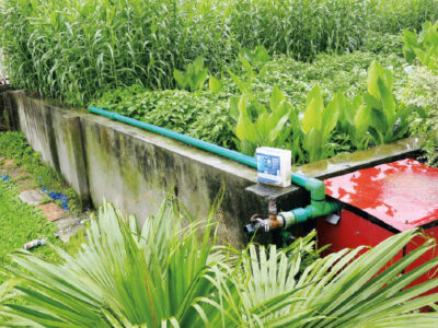
”SMART WATER” is a project funded from the Norwegian Financial Mechanisms as part of the REINE programme, running from 2nd August 2021 to 30th June 2022. The project is coordinated by the non-profit research and training centre METCENAS, o. p. s., its partner being the organisation AVAS, s. r. o., which is responsible for the… Read more »

Monitoring changes in the landscape development on the northeastern edge of the Hřebeny Mountains with a focus on wetlands

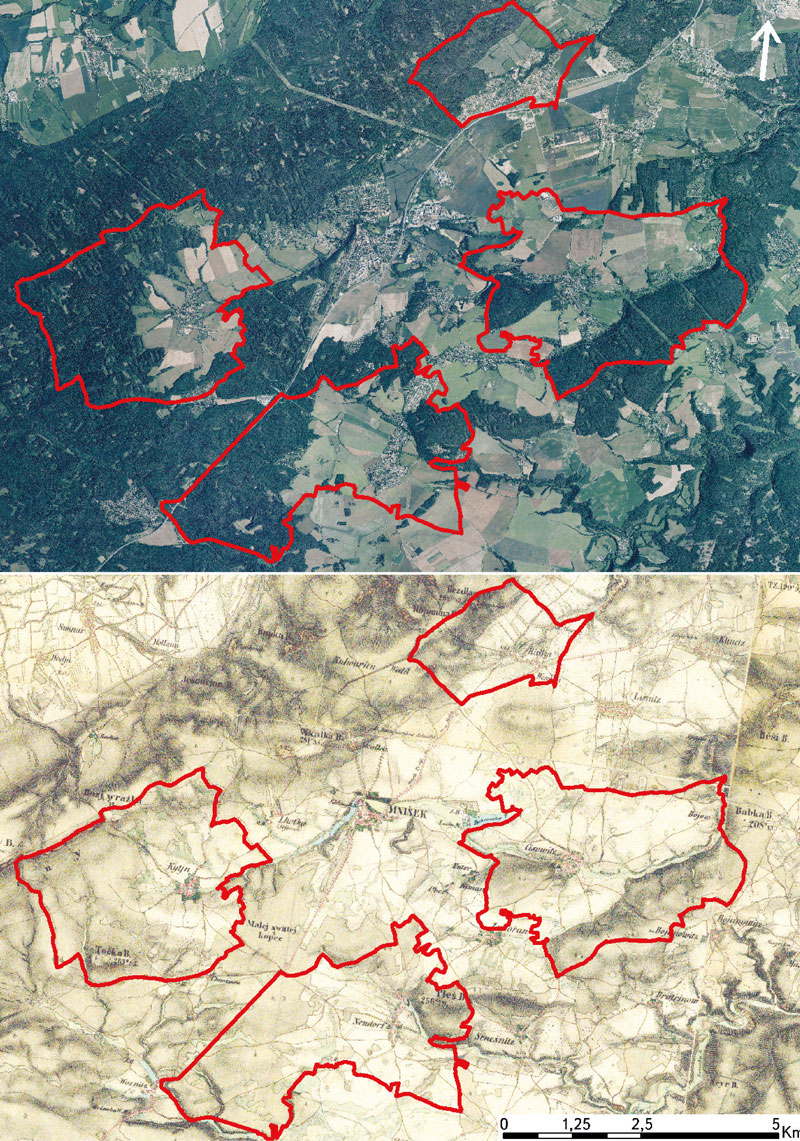
This article deals with changes in wetlands on the north-eastern edge of Hřebeny Mountains in the last 180 years. It assesses the dynamics of these landscape elements in space and time. The cadastral areas of Čisovice, Řitka, Kytín, and Nová Ves pod Pleší were selected, with a total area of 3,785.57 ha. Analysis was carried out on the basis of the Imperial obligatory prints of the maps of the stable cadastre from 1840, an orthophotomap, and field research from 2020; it distinguished wetlands in the monitored area into continuous, extinct and new. The background data were processed in ArcGIS software, version 10.7.1. The area of wetlands decreased from 289.34 ha in 1840 (7.6% of the monitored area) to 39.26 ha in 2020 (1.04% of the monitored area). Based on the study of available data, three types of wetland habitats were classified: wet meadows, wet meadows with woody plants, and ponds.

Problematics of archive map data interpretation, specifically the wetland habitats

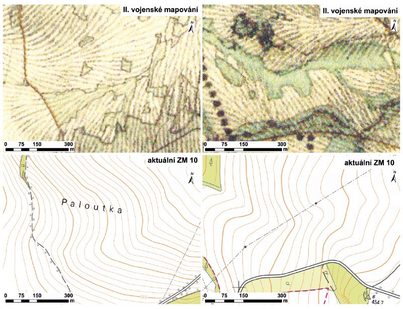
The article presents available on-line archive maps from the websites of the Archive of the Surveying Office and the Geoinformatics Laboratory of the J. E. Purkyně University, that provide an overview of the historical wetland habi-
tats location. The main research question is to find out the potential use of historical maps for the identification of the historical wetlands in the Czech Republic and the evaluation of various interpretations of wetland habitats based on these sources. Examples of wetlands on historical map data in the upper part of the Výrovka River basin are presented.

The trajectory of wetlands development in the upper part of the Výrovka river basin over the last 180 years

The article is focused on analysis of the change of wetlands coverage and the representation of various types of wetlands in the upper part of the Výrovka river basin over the last 180 years. The historical maps of the Stable Cadastre, current orthophotographs and GIS layers of actual localization and classification of different types of land cover were used as data sources.