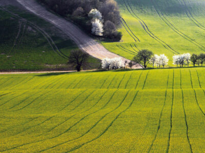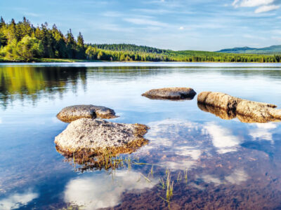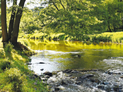
Landscape changes in the upper part of the Výrovka river basin from a water management perspective
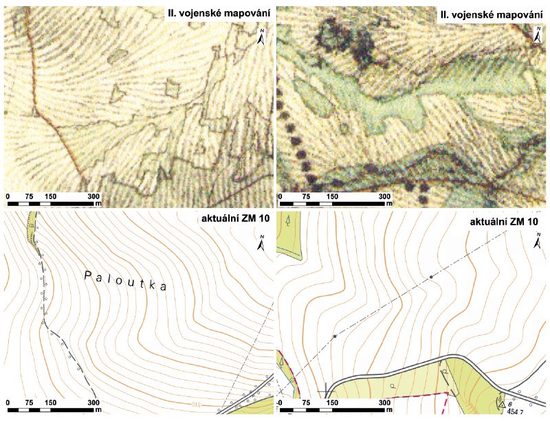
This article presents landscape changes in the upper part of the Výrovka river basin using a comparison of historical and current maps and or-thophotomaps, including verification of the current state of the landscape. On the map of the 2nd Military Mapping, 22 water bodies (ponds) with a total area of 57.53 ha were mapped. On the current map, 71 water bodies with a total area of 42.48 ha were recorded. Furthermore, significant changes in the location of watercourses were recorded; they were deepened, straightened, and their floodplains were drained. It is clear from the comparison of the map documents that these changes mainly occurred due to the intensification of agricultural use of the landscape.