Some aspects of catchment protection upstream of future reservoirs
Protected areas of natural water accumulation have been long monitored and protected. So far, little attention has been paid to the catchment area which will be the future source of water for these water reservoirs from the point of view of influencing their quality. This article focuses on certain diffuse (non-point) processes that may lead to pollution and thus to limited use of accumulated water. It describes the methodology for identifying critical points in the vicinity of the future reservoir, where an excessive amount of sediment loads will enter the aquatic envi-ronment during torrential rainfall events. This will lead to sedimentation of the reservoir as well as to the input of dissolved pollutants. The methodology was applied to all 61 selected sites; the results are clearly presented in Tab. 1 and further discussed. As another non-point aspect, the representation of so-called Nitrate Vulnerable Zones within the reservoir catchment areas is evaluated. Although these areas are assessed in terms of excessive nitrate levels in water, other undesirable compounds used in agriculture may also occur there. As a third aspect, the article describes the status of the land consolidation process in the monitored catchments and discusses their contribution to catchment protection. In conclusion, it is stated that it would be necessary to enshrine into legislation the protection of LAPV catchments, especially for those reservoirs intended for drinking water supply.
Development in and status of surface waters in an important drinking water source area
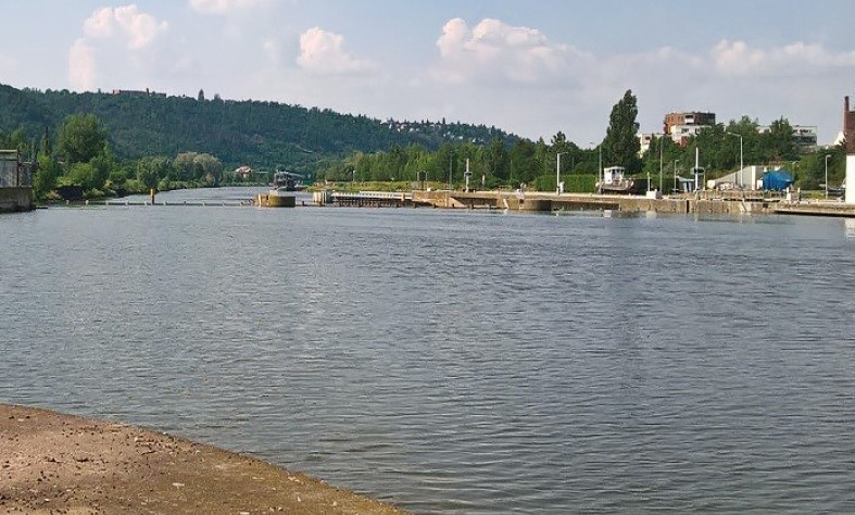
The paper discusses changes in of the basic parameters of surface water within the important drinking water source area of hydrogeological unit 232 Ústecká syncline, in the Svitava river basin. Emphasis is placed on the changes in the amount of water in the Svitava river and the changes in the basic physical and chemical parameters of these waters. The possible effect on local groundwater, which is intensively used for drinking purposes, is discussed. The contribution compares historical data sets with the results of current monitoring within the project SS06010044 (PPŽ VI, TA CR). The current qualitative state of surface water points to caution in promoting direct infiltration into groundwater due to the risk of contamination.
Protected areas of natural water accumulation – their meaning in the current system of water environment protection
This article discusses the development, management, and use of the landscape in the form of a declaration of a Protected Area of Natural Water Accumulation (CHOPAV). It examines the importance of this method of protection in the water protection system under the requirements of the Water Framework Directive and other European directives which have been incorporated into the legislation of the Czech Republic. It looks at the possibilities of using this tool in water management to deal with problems caused by climate change. Based on the research and analysis carried out, the article recommends modifications to the CHOPAV regime and area modifications, as well as expansion to other sites.

Development of land use and impact on water resources of hydrogeological unit 4232 Ústecká syncline in the Svitava river basin
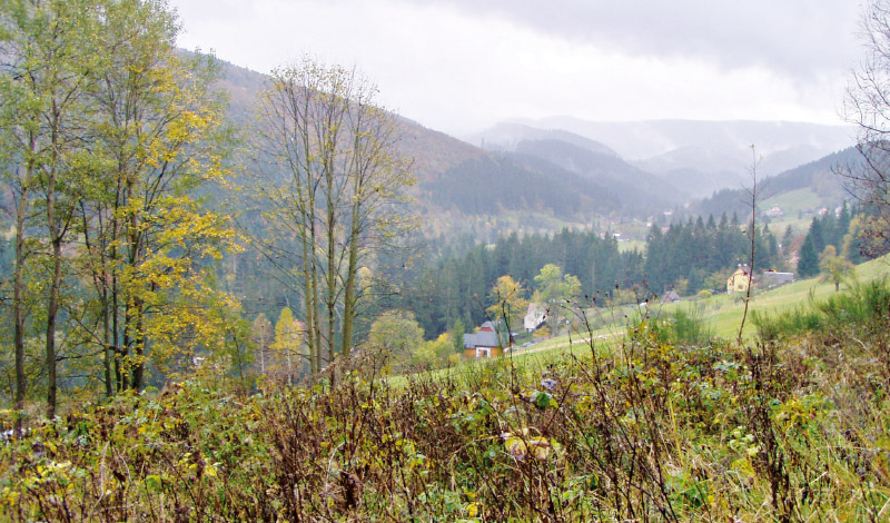
The research area of hydrogeological unit 4232 Ústecká Syncline in the Svitava river basin (Ústecká synklinála v povodí Svitavy) is an important area of underground drinking water sources. These resources are of the highest quality and among the most abundant resources in the entire Czech Republic. The development of land use is closely connected with the development of settlements and industry (textile) in the research area, which in their importance far exceeded the borders of the region. Gradual development created pressure on natural resources, especially water; the demands on the quantity of service and drinking water increased, while the quality of water was affected by industrial and agricultural pollution. Despite the observed decrease in population in the last twenty to thirty years, we can see the expansion of settlements, mainly due to new construction on agri-cultural land, which is slightly compensated by the expansion of permanent grasslands and forests. With regard to current and future climate change, this increase, together with a slight increase in water bodies, can be considered as a positive phenomenon.
The construction of large hydraulic structures in the context of ideas and ideologies
This paper deals with some aspects of the relationship between man and water demonstrated via the example of large hydraulic structures constructed in the Czech lands. Based on this relationship, principles of the practical functioning of ideas and ideologies, including religion, can be presented. It is not just about “pagan” cults, aiming directly at worshipping water as a living being. Christianity also significantly influenced the framework in which water management operated across the centuries and, at the same time, new ideas associated with the Enlightenment and the Industrial Revolution during the 18th and 19th centuries. A key part of the paper is focused on the topic of the construction of large hydraulic structures in the 20th century, which was particularly intensive in its second half. It also mentions political, ideological, and natural changes which were, at the beginning of the 21st century, reflected in man’s relationship with water resources and the possibilities of influencing them.
The Clean Water – a Healthy City: The usability of the existing information collection system to fulfillment of goals
Příspěvek představuje část projektu Čistá voda – zdravé město, který se zabývá predikcí možného výskytu nebezpečných chemických látek v tocích při haváriích a povodních. Seznamuje s databázemi, které jsou v současné době k danému tématu vedeny, a s jejich praktickou využitelností.
Drought management and water reservoirs construction in the context of spatial planning
In the Czech Republic long-term protection of localities suitable for surface water storage (LASW) is done. Currently the number of them is 65; in the near future this list will be updated. The protection of these areas, however, has impacts on social and economic development of communities, local people and on the landscape itself, too.