
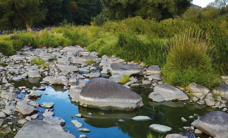
Typology and effects of roads on runoff regime in protected areas
The article presents the results of the project Analysis of Changes in the Water Regime of Land and Watercourses in the Krkonoše National Park Caused by the Network of Roads (TA CR, no. TITSMZP945), implemented as a public procurement commissioned by the Ministry of the Environment of the Czech Republic within the BETA2 applied research programme. The main output of the project is a two‑level typology of the road network in terms of its impact on surface and subsurface runoff. This typology was applied to the territory of Krkonoše National Park (KRNAP) in the Czech Republic and presented in the form of cartographic atlases. The article describes the principles and criteria of the proposed typology and the methodology of its application in map production, which at the basic level combines spatial analyses of road network datasets, digital terrain models and the hydrographic network, and at the detailed level incorporates the results of extensive field surveys. The original analytical procedures include, among other things, the detection of directional and elevation breaks in road segments and the delineation of micro‑catchments for individual sections. The resulting maps provide KRNAP Administration and other managers of protected areas with a tool for identifying road segments with the highest potential impact on the hydrological regime and serve as a basis for planning compensatory measures or restoration interventions.

Where does a settlement end? Defining urban areas for more than just runoff analyses
The article presents a methodology for the spatial delineation of significant urban areas in the Czech Republic, primarily for the purposes of hydrological analyses and flash flood risk assessment. First, the definition of urban areas was refined in relation to existing terminology, followed by the development of a comprehensive procedure for creating layers of urban and natural features using the planimetric layers of the Fundamental Base of Geographic Data of the Czech Republic (ZABAGED®) supported by additional open data sources.

Small headwater catchments – spatial delimitation and their classification in terms of runoff risks
This article presents an aerial delineation of small headwater catchments up to 5 km2 in the Czech Republic. The aim was not only to present the delineation of these catchments, but also their categorization in terms of the characteristics affecting the formation of direct runoff. Direct runoff caused by torrential rainfall is a very dynamic process of episodic nature and has a major impact specifically in small catchments. The delineation of small headwater catchments, where the aforementioned processes take place, can complement the standard hierarchical classification of basins in the Czech Republic. These basins make up 80 % of the Czech Republic.

History and future development of rainfall-runoff characteristics on the outskirts of Prague
This article is available in Czech only. For translation or more information on this topic, please contact author. Souhrn Tento příspěvek prezentuje studii vývoje srážkoodtokových charakteristik v šesti povodích na okraji Prahy od roku 1920 s výhledem do roku 2050. Kvůli neexistujícímu dlouhodobému monitoringu bylo hodnocení provedeno prostřednictvím srážkoodtokového modelování v prostředí HEC-HMS. Klíčovým… Read more »

Groundwater formation in urban areas regarding peripheral parts of Prague
Groundwater is an integral part of the hydrosphere and hydrological cycle in a healthy landscape, which is better able to withstand hydrological extremes such as floods or prolonged drought. The main source of groundwater is precipitation. There are a number of barriers for infiltration in urban areas – urban and industrial buildings, as well as increasing areas with impermeable surfaces. The aim of the paper is to draw attention to the importance of groundwater in the urban landscape and to possible measures to support the infiltration of precipitation.
The research took place in the territory of outer Prague, where there is an intensive expansion of the built-up area, which is accompanied by a lower infiltration of precipitation, compared to the open landscape. Based on the evaluation of pedological, geological and hydrogeological conditions of the area, a methodology for evaluating the suitability of the area for infiltration was developed. Based on it, two types of maps were created: an infiltration potential map evaluating primarily the permeability of the soil and rock environment, and an infiltration capacity map, in addition emphasizing the size of the free storage volume for infiltrated water. Maps are available for viewing in the map application on the project website heis.vuv.cz/projekty/praha-adaptacniopatreni.
Study on the assessment of the effect of nature-friendly measures in the Olešná in Pelhřimov catchment area using the BILAN, HEC-HMS and HYPE models
A catalogue of natural restoration measures was created within several research programs under Ministry of the Environment of the Czech Republic, especially in the program for hydrological draught mitigation. As a next step suitable catchments for their application were identified. With use of hydrological models, the effect of designed restoration measures on three aspects of hydrological regime was assessed.

Response variability of selected hydrological models to typical temporal distributions of short-term precipitation
The article presents a selection of outcomes of a three-years’ project named “Variability of Short-term Precipitation and Runoff in Small Catchments and its Influence on Water Resources Management“. Its aim was to provide to the public the newly derived typical temporal distributions of subdaily precipitation, also known as design rainfalls.

Classification of small watersheds for the rainfall-runoff modelling in the Czech Republic
This article introduces a classification of small watersheds in the Czech Republic in terms of potential hydrological response to a set of design precipitation time series. Watershed classes as well as precipitation time series were derived as a partial result of a three-year project aimed at the design of typical soil conservation measures and small water management structures
Web services for the provision of design rainfall
In the field of GIS support for hydrological modelling there has been distinct evolution towards so called web services, which enable the users to obtain necessary input data for modelling in a fast and effective way. With respect to design rainfall data – one of the key component – the deficit has been considerable.