Development in and status of surface waters in an important drinking water source area
The paper discusses changes in of the basic parameters of surface water within the important drinking water source area of hydrogeological unit 232 Ústecká syncline, in the Svitava river basin. Emphasis is placed on the changes in the amount of water in the Svitava river and the changes in the basic physical and chemical parameters of these waters. The possible effect on local groundwater, which is intensively used for drinking purposes, is discussed. The contribution compares historical data sets with the results of current monitoring within the project SS06010044 (PPŽ VI, TA CR). The current qualitative state of surface water points to caution in promoting direct infiltration into groundwater due to the risk of contamination.

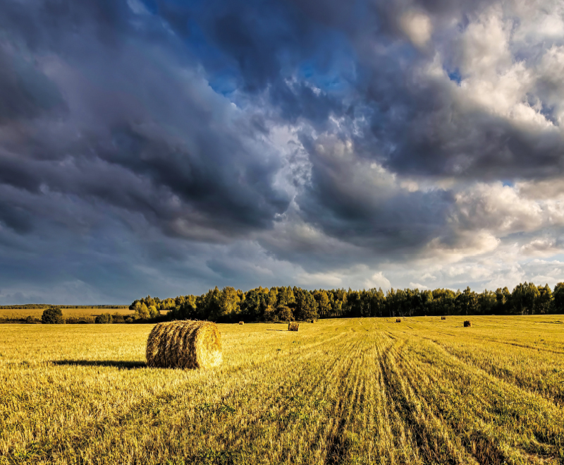
Development of land use and impact on water resources of hydrogeological unit 4232 Ústecká syncline in the Svitava river basin
The research area of hydrogeological unit 4232 Ústecká Syncline in the Svitava river basin (Ústecká synklinála v povodí Svitavy) is an important area of underground drinking water sources. These resources are of the highest quality and among the most abundant resources in the entire Czech Republic. The development of land use is closely connected with the development of settlements and industry (textile) in the research area, which in their importance far exceeded the borders of the region. Gradual development created pressure on natural resources, especially water; the demands on the quantity of service and drinking water increased, while the quality of water was affected by industrial and agricultural pollution. Despite the observed decrease in population in the last twenty to thirty years, we can see the expansion of settlements, mainly due to new construction on agri-cultural land, which is slightly compensated by the expansion of permanent grasslands and forests. With regard to current and future climate change, this increase, together with a slight increase in water bodies, can be considered as a positive phenomenon.

Irrigation – rediscovered heritage, its documentation, popularisation and protection based on the example of historical meadow irrigation systems
Objekty závlah byly budovány a fungují převážně jako součást většího nebo menšího funkčního celku. Jejich význam i z pohledu potenciální pa-mátkové ochrany tak roste s identifikací a dokumentací nejen solitérních staveb, ale zejména celých soustav/funkčních celků a popisem vazeb mezi nimi. Samostatný objekt či stavba nemusejí být nijak výjimečné, avšak jejich zapojení do většího funkčního celku může vytvářet unikátně pojaté řešení. V oboru vodního hospodářství se obzvlášť projevuje důležitost a význam kritérií, jako je hodnota typologická, hodnota technologického toku, autenticita formy a funkce, hodnota technologických a systémových vazeb s přesahem do zemědělství či průmyslu. Článek přináší informace o možnostech využití tradičních metod historického a archivního výzkumu a dokumentace lokalit, jakož i o využití moderních nástrojů pro plošně rozsáhlejší systémy, včetně metod digitalizace a digitálního zpracování podkladů.
The alternative detemination of R-factor (Rainfall erosivity factor) in the Husí Creek catchment
Hodnocení erozní účinnosti deště je v současnosti těžištěm výzkumu v oblasti stanovení erozního ohrožení půdy. V rámci empirického modelování pomocí modelů rodiny USLE (the Universal Soil Loss Equation) je erozní účinnost deště reprezentována tzv. R faktorem, jehož hodnotu lze stanovit řadou doporučených postupů. Tento článek představuje možné alternativní způsoby určení hodnoty R faktoru na základě ročních a měsíčních sum srážkových úhrnů.