Determination of soil loss from erosion rills by method of digital photogrammetry and method of volumetric quantification
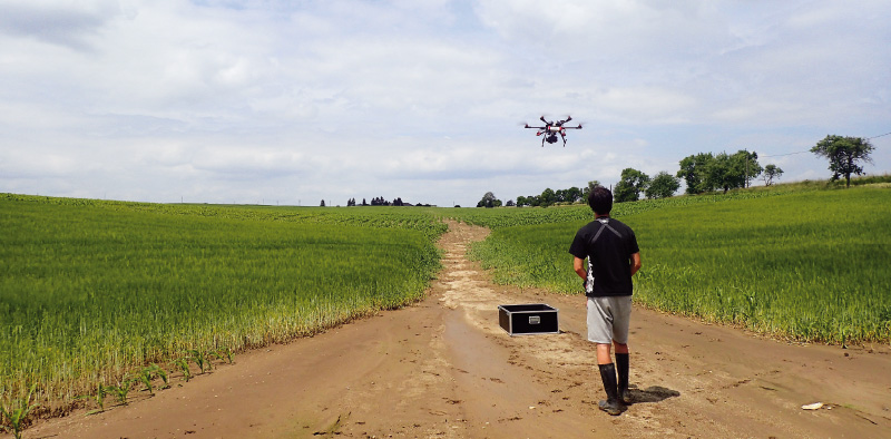
This article presents the first results of the research focused on the recording of rill erosion, and its evaluation using the outputs of the two methods that can be used to determine the soil yield. The consequences of erosion have been documented on a selected pilot site, both as a direct method of volume quantification (using an profile meter – so called soil erosion bridge) and with the use of unmanned aircraft in close-up photogrammetry (UAV).