Possibilities of extrapolation of digital terrain model raster DMR 5G
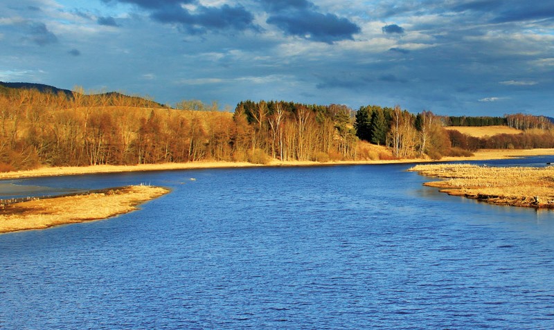
Airborne laser imaging (LiDAR) has been carried out throughout the Czech Republic, enabling the creation of raster of digital model of terrain. This material is widely used in various fields. From the point of view of hydrology demands, however, the shortcoming of this technology resides in the absence of accurate/complete channel topography due to the absorption of the near-infrared laser beams by water.