
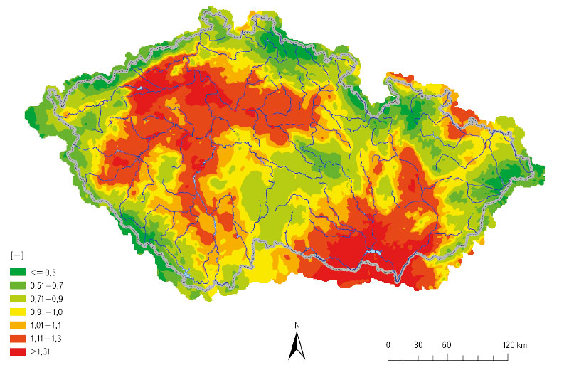
Drought warning system and local threshold limits
Droughts and floods are extreme hydrological phenomena that are currently increasing in frequency due to the growing impact of climate change, and can have significant effects on our lives. Within the “PERUN” research project, an assessment of drought conditions and their development in the Czech Republic is being developed, along with the innovation of the warning system by the Czech Hydrometeorological Institute (CHMI). Drought is a natural phenomenon characterized by a gradual onset, long duration, and low dynamics, which requires a specific approach. The amendment to the Water Act introduces the obligation of regular reporting on drought and the establishment of a predictive service to be conducted by CHMI. Tools are being developed for long-term prediction of water resource conditions and a methodology for drought and water scarcity management plans. These plans aim to ensure water supply, protect the environment, and minimize the economic impacts. The decision-making body for issuing measures based on the drought plans is the Drought Commission, which operates at the regional level. The warning information is available on the HAMR web portal, which also displays local threshold limits for individual water resources.
Practical examples of using GIS in hydrology at the Czech Hydrometeorological Institute
GIS technologies are widely used in the Hydrology Department of the Czech Hydrometeorological Institute (CHMI). The processing of geospatial data, which are used in hydrology for analytical tasks, and the development of GIS technologies in the last two decades have contributed to the spread of GIS in the CHMI practice. The use of GIS tools is shown in four examples. The first one focuses on the creation of GIS data. The second example concerns the preparation of input source data for the derivation of the hydrological characteristics of M-day discharge, which, according to Czech Standard 75 1400 Surface water hydrological data, are among the basic hydrological data. The third example describes the use of GIS in the preparation of hydrological assessments according to the above-mentioned standard (75 1400), which usually result in M-day or N-year-flood discharges in a specified profile of a certain watercourse. The fourth example focuses on the use of GIS in operational hydrological service, specifically in the development of the Flash Flood Indicator, which determines the level of risk of flash flood formation or occurrence based on current land saturation and radar rainfall estimates.