
Tools for risk assessment of catchment areas for abstraction points of water intended for human consumption
In December 2020, the new EU Directive 2020/2184 on the quality of water intended for human consumption was published. This Directive places a strong emphasis on comprehensive protection of water resources and introduces an obligation to carry out risk assessment and risk management of the catchment areas for abstraction points of water intended for human consumption, compared to the previous Directive from 1998. The risk analysis of the catchment areas must be carried out for all water abstractions for drinking purposes that abstract more than 10 m3 raw water per day. In the Czech Republic, this concerns approximately 3,650 abstractions (of which about 3,500 are groundwater abstractions and about 150 surface water abstractions). On a nationwide scale, it is therefore a considerable amount of risk analyses of parts of the catchment areas, which, according to the Directive, must be performed by 2027. The main aim of the project “Tools for risk assess-ment of catchment areas for abstraction points of water intended for human consumption” (supported by the Technology Agency of the Czech Republic) is to develop a methodology for the preparation of this risk analysis of the catchment areas. In order to ensure that the risk analyses of the catchment areas to be prepared by different entities have a uniform form and structure, a form (mock-up) of what the risk analyses of the catchment areas should look like and what they should contain has been developed within the framework of the methodology. As this is a very complex issue, only the main skeleton of the methodology will be presented in this article, focusing on the basic characteristics of the abstraction and the definition of the area (the catchment areas) in which the risk activities for the quality of the abstracted raw water are determined.
Risk assessment as a comprehensive approach to protection of drinking water sources
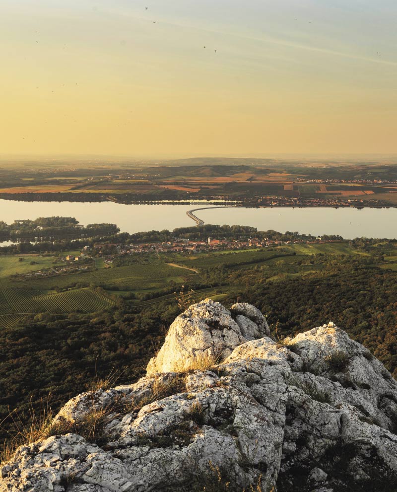
Drinking water supply as well as its quality form one of the basic pillars of modern society. This corresponds to the goal of the International Water Association (IWA) – good, safe and drinkable water, which enjoys consumer confidence and can be not only drunk without fear, but in which the consumer also appreciates its taste and aesthetic appearance. In order to meet these objectives, it is important to set drinking water quality requirements and also to keep the whole process of drinking water production and distribution, including all risk areas, under continuous control.
GIS and cartography at the T. G. Masaryk Water Research Institute
Geographic information systems (GIS), data processing, evaluation and interpretation are an essential and integral part of research at present as most information can be related to a specific location on the Earth’s surface. The GIS and Cartography Department at the T. G. Masaryk Water Research Institute deals with research and commercial projects by means of the application of GIS tools.
The database of water resources protection zones in the Czech Republic
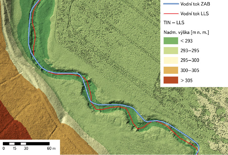
Databáze ochranných pásmem vodních zdrojů (OPVZ) vznikla ve Výzkumném ústavu vodohospodářském T. G. Masaryka, v. v. i., (dále jen VÚV TGM) přibližně v roce 2004. V následujících letech proběhla řada dílčích aktualizací. V letech 2015–2017 byl v rámci podpory výkonu státní správy Ministerstva životního prostředí ČR (MŽP) řešen projekt s názvem Aktualizace OPVZ v ČR.